Landscape shaped by the wind in Eumenides Dorsum

Landscape shaped by the wind in Eumenides Dorsum
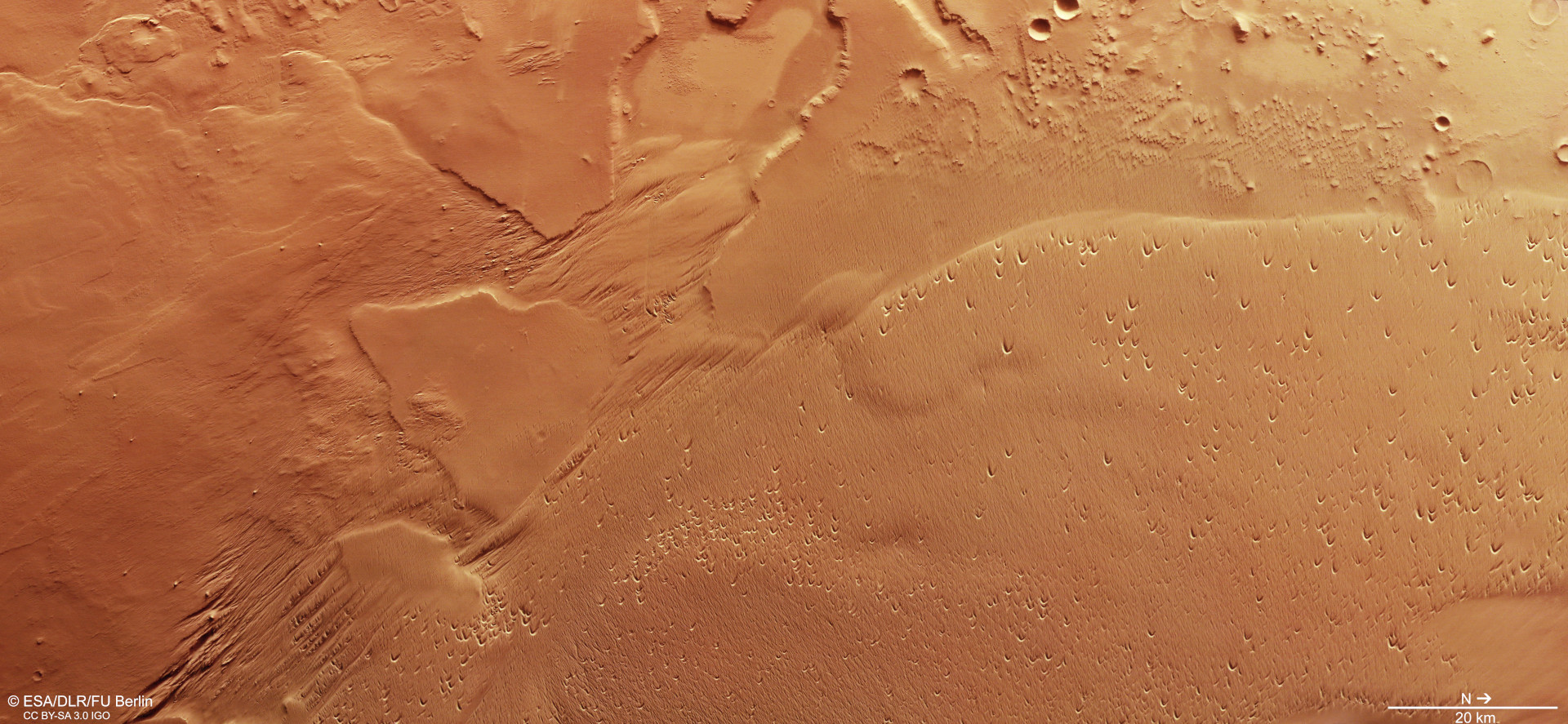
Since January 2004, the High Resolution Stereo Camera (HRSC) operated by the DLR Institute of Planetary Research on board ESA's Mars Express orbiter has been mapping Mars in high resolution, in colour and in '3D'. In the images, generated using data acquired on 14 May 2021 during orbit 21,948, have a resolution of approximately 19 metres per pixel. The landscape is characterised by long-term wind erosion. In the centre of the image, numerous parallel ridges and troughs, known as yardangs and wind gullies, can be seen. Numerous 'blowouts' – saucer- or trough-shaped depressions created by wind erosion of pre-existing sand deposits – can be seen in the area to the right of the image. North is on the right of the image. The size of the area in the image is approximately 180 by 80 kilometres.