Vertical plan view of a part of ‘Holden Basin’ with chaotic terrain
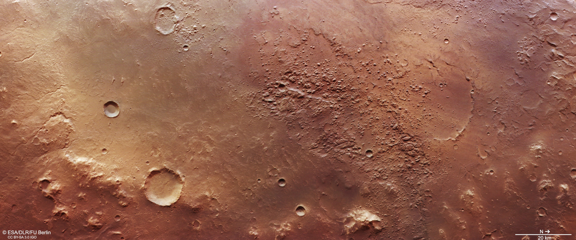

Vertical plan view of a part of ‘Holden Basin’ with chaotic terrain
This depression, about 270 kilometres across, is thought to be the remnant of a very old impact basin on Mars that once contained considerable amounts of ground ice. Sudden melting of the ice and drainage of the water created cavities in the subsurface, which then collapsed, creating the chaotically fractured landscapes in the centre of the image. At the southwestern edge of this basin is the Holden impact crater (not pictured here), which is why this depression is sometimes unofficially called ‘Holden Basin’. North is to the right in the image.