Rotterdam Waalhaven district


Rotterdam Waalhaven district
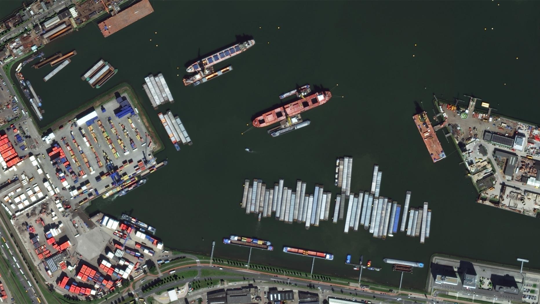
The German Remote Sensing Data Center (DFD) team at the Maritime Safety and Security Lab in Neustrelitz is researching methods to detect and classify objects on the basis of optical remote sensing data. The resolution of these data is usually in the range of 10 to 30 metres, but sometimes also less than one metre. The image detail shows Rotterdam’s Waalhaven district in an image acquired by the WorldView-3 satellite with a resolution of 30 centimetres on 8 September 2014.