Photogrammetric survey of the Icelandic test sites

Photogrammetric survey of the Icelandic test sites
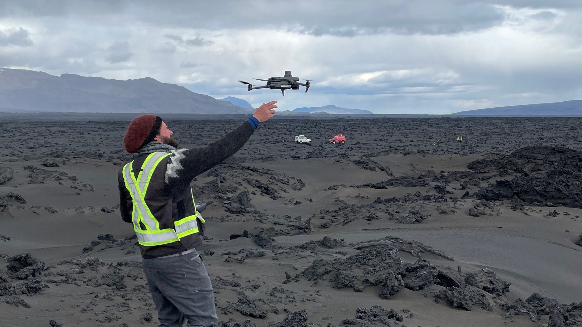
In what looks like a modern reenactment of medieval falconry, Christoph Hamilton from University of Arizona's Lunar and Planetary Laboratory waits for his little versatile drone to land on its hand after surveying one of the test sites on the solidified 2014 Holuhraun lava flow from the air. The drone's camera acquires high-resolution ground imagery that will be photogrammetrically processed to digital terrain models of the test sites. This helps characterise the different morphological and physical characteristics of the lava flows in central Iceland, a result of their varying chemistry, mineralogy, temperature and rheology. From the air, this is much easier to accomplish compared to walking on the razor-sharp volcanic rocks.