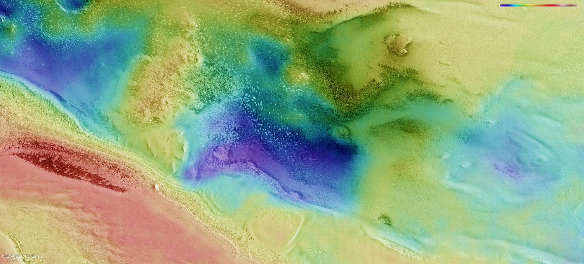
Topographic map of the 'Australe Scopuli' south polar region

Topographic map of the 'Australe Scopuli' south polar region
The DLR HRSC stereo camera onboard Mars Express uses its nine sensors to record the Martian surface from various angles, perpendicular to the direction of flight. Teams of scientists at the DLR Institute for Planetary Research and the Freie Universität Berlin calculate digital terrain models from two stereo channels directed 'obliquely' forwards and backwards onto the surface, and the nadir channel, which is pointed vertically down onto Mars, which assign elevation information to each pixel. The colour scale in the top right of the image shows the altitude values relative to the areoid, an imaginary surface on Mars with the same gravitational pull.