Digitalisation and AI – intelligent analysis and simulation
Fighting wildfires with cutting-edge technology
Digitalisation and AI – intelligent analysis and simulation
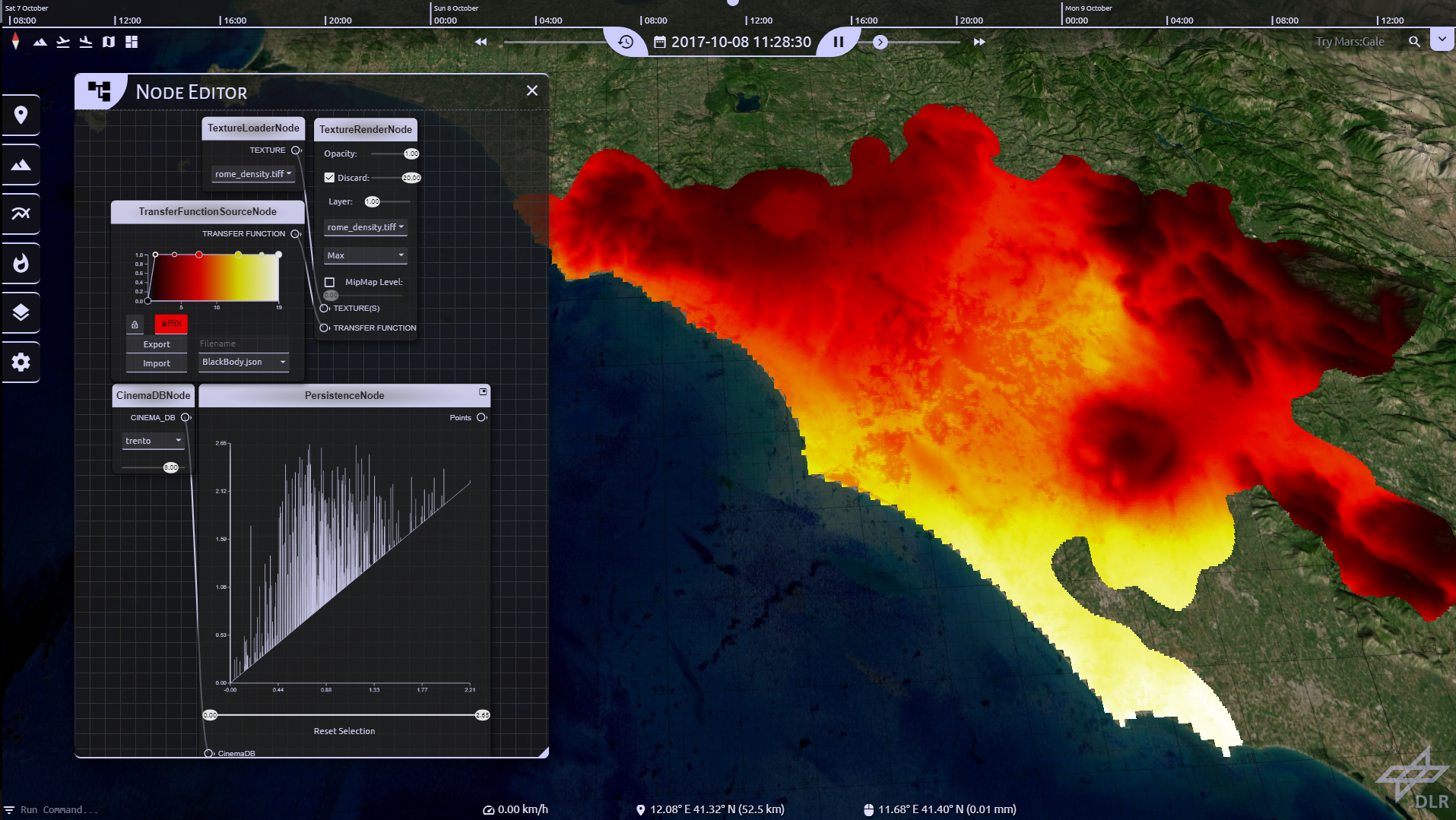
VESTEC software solution – wildfire in Spain
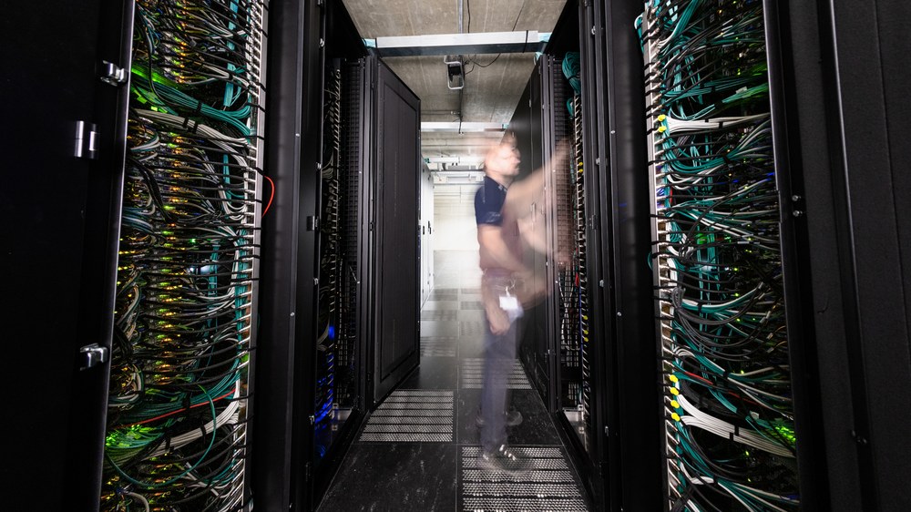
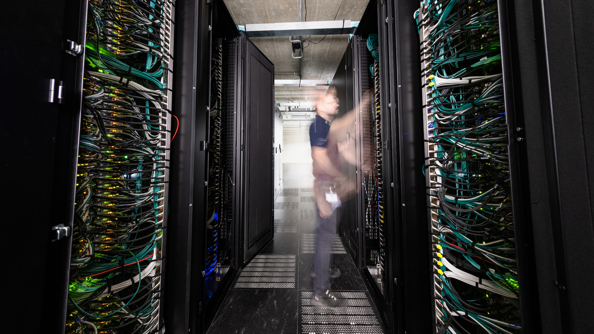
Research institutions and companies from a range of EU countries pooled their expertise in the VESTEC (Visual Exploration and Sampling Toolkit for Extreme Computing) project, which was dedicated to interactive supercomputing for rapid decision-making in emergency situations. The large European-funded Horizon 2020 project for assessing and managing acute crisis situations using intelligent software solutions came to an end in 2022. It was coordinated by the DLR Institute of Software Technology.
Across almost all technological fields, the volume of data being generated is increasing. As data volumes increase, so too does the need for intelligent analysis – which at some point can no longer be managed by humans alone. DLR is applying its expertise in the development of robust high-tech solutions into this area, working on digital platforms and algorithms to automatically analyse satellite and aerial image data. When it comes to detecting and fighting wildfires, these tools help human users to more quickly pass on actionable information from the results of data collection, categorisation and qualified analysis to rescue workers and authorities. Methods from artificial intelligence, machine learning and high-performance computing are used to detect burning and burnt areas, generate maps and forecast how a fire will spread.
Alongside projects such as Embed2Scale, the simulation of complex operational scenarios forms a key component of future wildfire management. As part of the EU's COLOSSUS project, for example, DLR researchers are modelling entire fire situations using a holistic end-to-end approach – considering emergency services, vehicles, aircraft, weather data and terrain conditions. Using reinforcement learning – a principle from machine learning – it is possible to derive recommendations for optimal fleet composition, infrastructure development and tactics. The focus goes beyond enhancing individual components. The findings feed into digital platforms that decision-makers can use for interactive planning.
Other European research schemes and initiatives are also making important contributions, including the now successfully completed VESTEC project – the Visual Exploration and Sampling Toolkit for Extreme Computing. Here, supercomputer technology was used to enable emergency response teams to plan measures at short notice. The project focused on questions such as 'How is the fire spreading?' and 'Which emergency response teams need to be deployed and where to keep the fire under control?'. Short-term developments were simulated as they happened in the form of 3D visualisations. The basis for these simulations was real-time data collected from multiple sources. Research institutions and companies from various EU countries contributed their expertise to this DLR-coordinated project, which kicked off in 2018.
The InSight-X project, launched in 2025, focuses conversely on the long-term observation and analysis of wildfires in Europe. Changes such as seasons and the distribution and intensity of wildfires are investigated on the basis of Earth observation data from Europe's Sentinel-3 satellites and NASA's MODIS instruments, over a study period of 20 years. With the help of machine learning, burn areas are identified in satellite images and processed for further evaluation by AI models. The goal is to identify statistical relationships in order to enable reliable forecasts for individual fire events based on current data, as well as to suggest potential preventative measures.

