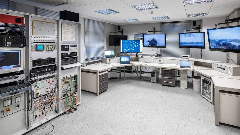
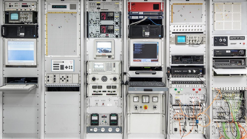
The research facility at the DLR Institute of Flight Guidance in Braunschweig establishes a bidirectional high-frequency link between a ground station and various flight test vehicles and ground vehicles.
The Application Platform for Intelligent Mobility (Anwendungsplattform Intelligente Mobilität; AIM) data services at the German Aerospace Center (Deutsches Zentrum für Luft- und Raumfahrt; DLR) site in Braunschweig provide relevant traffic and geodata relating to Braunschweig's urban traffic infrastructure. This includes data and mapping for highly and fully automated driver assistance systems.
For instance, AIM provides data covering the virtual reference route along Braunschweig's inner-city ring, including street topography / topology, the terrain model, street infrastructure (for example, traffic lights and signs), building models and a 3D model with logical street descriptions – all available via OpenDRIVE®. A virtual railway reference route from Braunschweig to Gifhorn also uses railML to provide data about the tracks, points, signals, safety technology and junctions.
Furthermore, the large-scale AIM data services facility serves as a driver performance database for the automotive sector and is linked to the DOMINION framework and the AIM backend. Areas of application include the combination of various data pools from the development of AIM, the provision of raw data and processed data as services for related applications in the automotive and railway sectors, pedestrian simulations, noise simulations, weather simulations, and the simulation of signal and safety technology. All of these applications are designed to facilitate the evaluation of test drive studies and the collection of empirical data on public transport.
Contact
Marc Hohloch
Head of Department
German Aerospace Center (DLR)
Institute of Transportation Systems
Research Infrastructure Management
Rutherfordstr. 2, 12489 Berlin
Volker Speelmann
Head of Research Infrastructures
German Aerospace Center (DLR)
Executive Board department for Innovation, Transfer and Research Infrastructure
