DEMMIN – Durable Environmental Multidisciplinary Monitoring Information Network
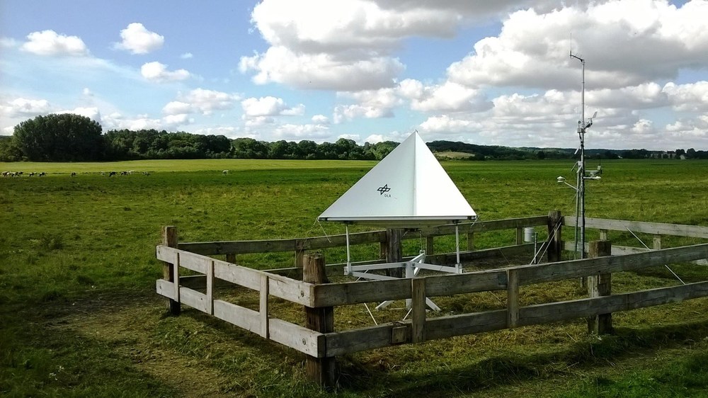

Corner reflector
National and international measurement campaigns benefit from the GIS database, which was developed in cooperation with local farmers.

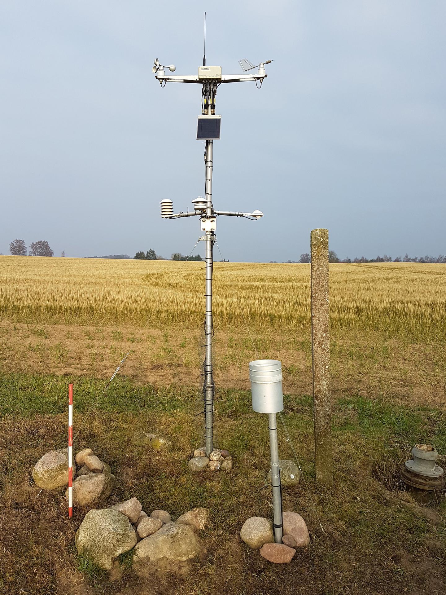
Environmental monitoring station
The facility is used to provide in situ data (environmental data) for the development and validation of remote sensing algorithms and processes, among other things.

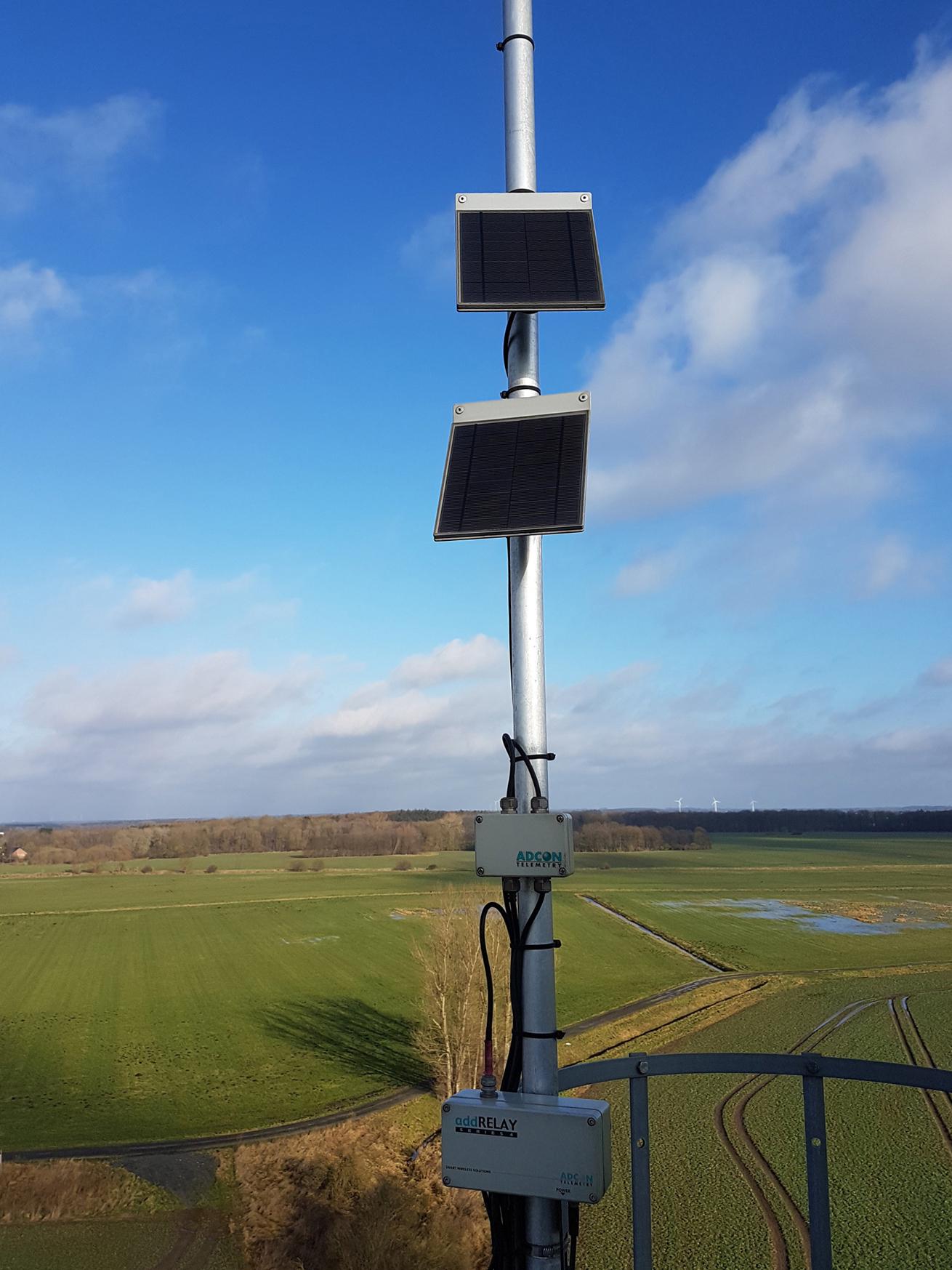
Data relay station
The facility is used to provide in situ data (environmental data) for the development and validation of remote sensing algorithms and processes, among other things.