Topographical overview map of the northern Tharsis

Topographical overview map of the northern Tharsis
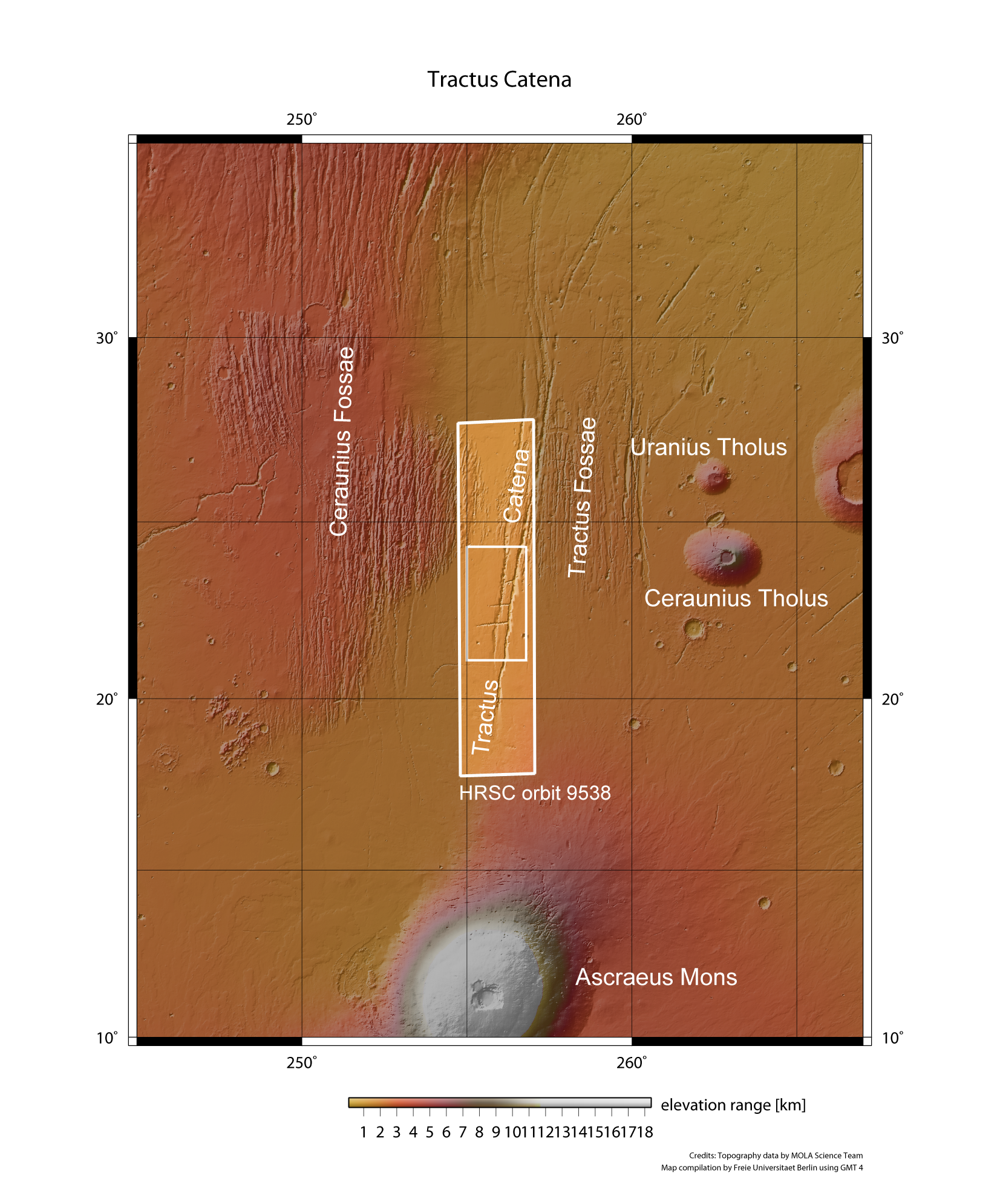
The Tharsis region, about the size of Europe, is one of the most striking volcanic regions on Mars. Here, the Martian crust here has been pushed up several thousand metres above the surrounding highlands. Some of the largest volcanoes on the planet, such as the almost 20,000-metre high Ascraeus Mons, are prominent peaks. In the vicinity of these gently sloping shield volcanoes, numerous structures that have been formed by stresses in the Martian crust can be seen; these take the form of surface collapses resulting from stress fractures. ESA's Mars Express spacecraft acquired images of the region north of Ascraeus Mons on 22 June 2011 using the HRSC camera system from an altitude of slightly over 400 kilometres; linear stress fractures are visible in the images. An unusual alignment of pit chains – the Tractus Catena pit crater chain – can be seen along the fractures. The images selected for publication here show the smaller, inner rectangle.