Elevation of Ulyxis Rupes in 3D

Elevation of Ulyxis Rupes in 3D
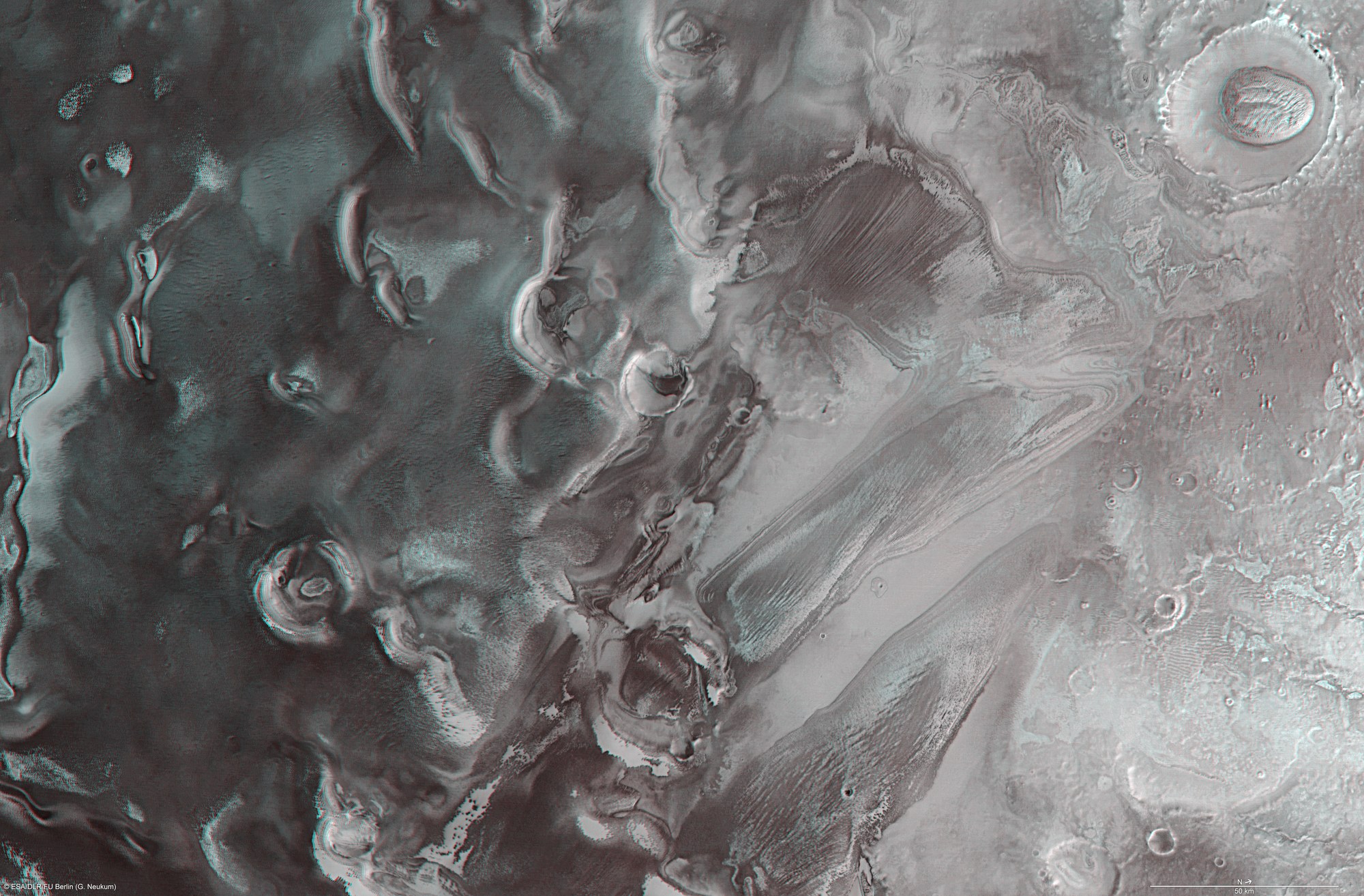
The elevation of this region decreases markedly from south to north, dropping in steps by about 1500 m in total from left to right across the image. The image was created using a Digital Terrain Model (DTM) obtained from the High Resolution Stereo Camera on ESA’s Mars Express spacecraft. Elevation data from the DTM is colour coded: purple indicates the lowest lying regions and grey the highest.
Copyright note:
As a joint undertaking by DLR, ESA and FU Berlin, the Mars Express HRSC images are published under a Creative Commons licence since December 2014: ESA/DLR/FU Berlin, CC BY-SA 3.0 IGO. This licence will also apply to all HRSC images released to date.