Topographic overview map of the area surrounding Hooke Crater


Topographic overview map of the area surrounding Hooke Crater
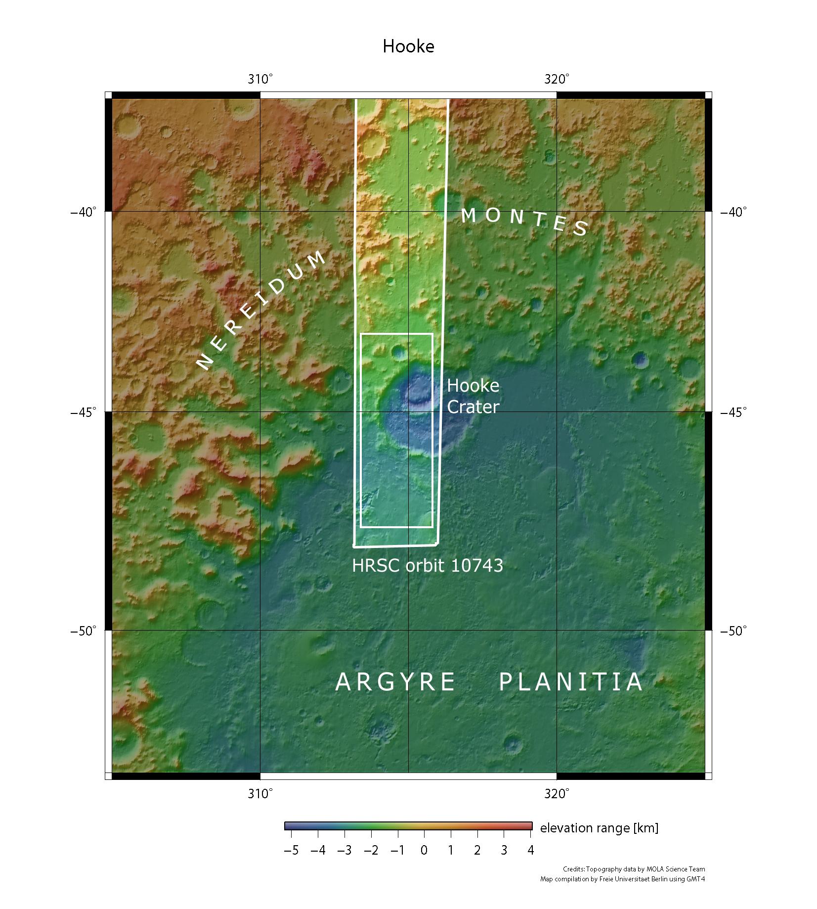
After Hellas Planitia, Argyre Planitia is the second largest impact basin on Mars. On 8 June 2012 the High Resolution Stereo Camera (HRSC), operated by DLR on board ESA’s Mars Express spacecraft, acquired images of Hooke Crater during orbit 10,743. The images shown here originate from the small, inner rectangle in the HRSC imagery strip. Hooke Crater lies in the Argyre Planitia region, an extensive circular, low-lying plain on the southern hemisphere of Mars.