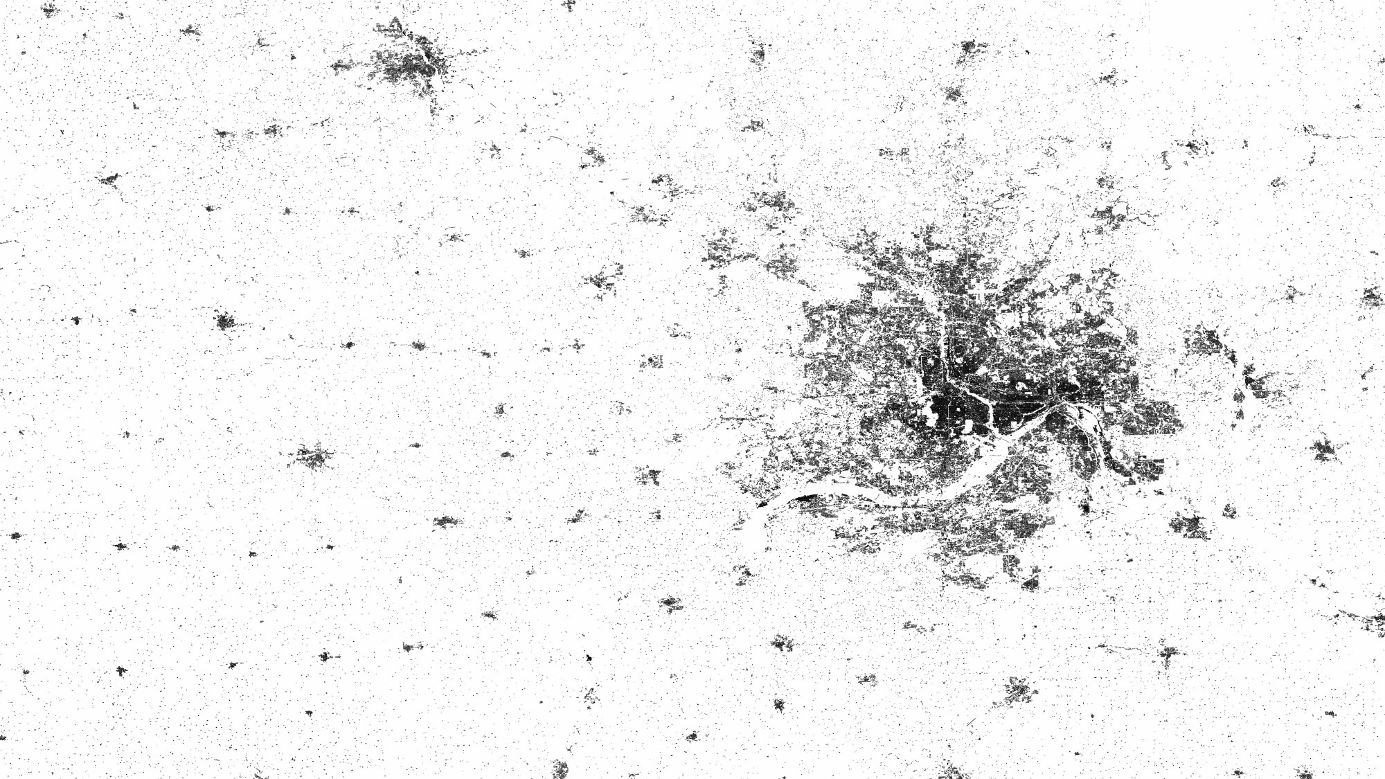
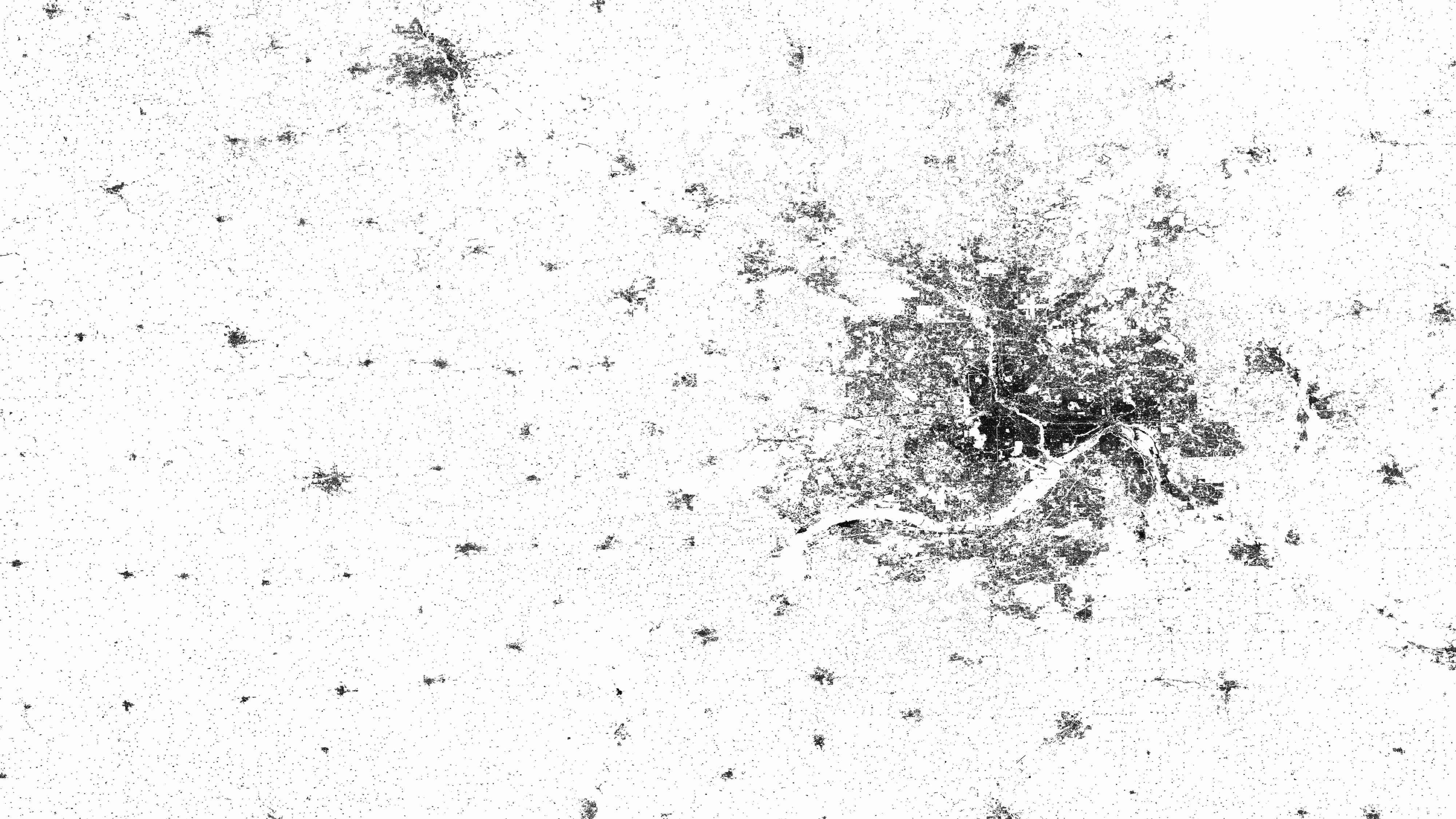
Minneapolis

Minneapolis
The radar images that scientists from the German Aerospace Center (DLR) processed as part of the Global Urban Footprints project even render individual farmhouses visible. Here we see Minneapolis and the surrounding rural regions. The area's history has defined the settlement patterns: farmers received large, usually rectangular parcels of land, which prompted them to construct their farmhouses far apart.