Overview map of the southern section of Hellas Planitia


Overview map of the southern section of Hellas Planitia
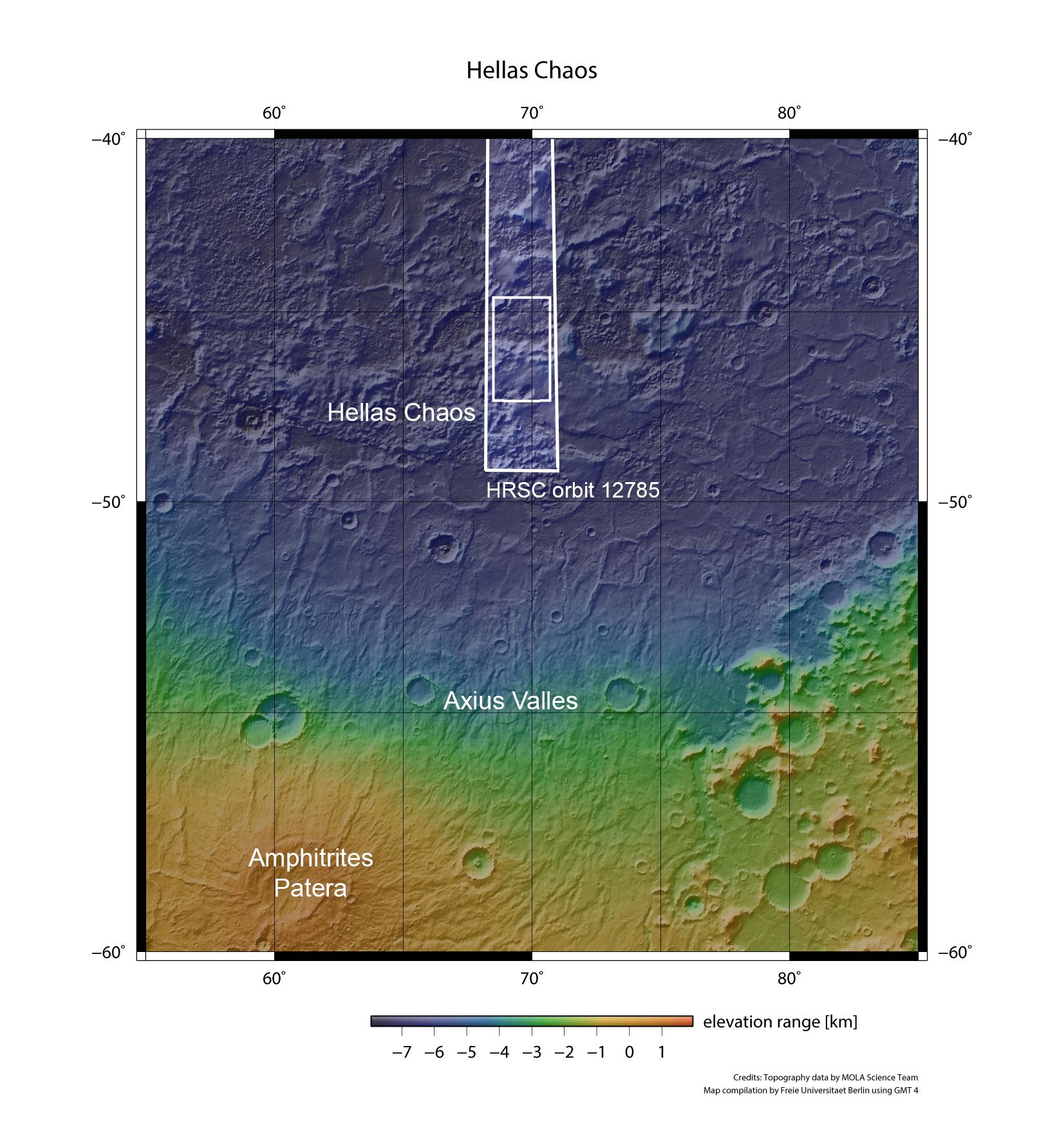
Hellas Planitia is the largest impact basin on Mars. Its depth of over eight kilometres frequently creates atmospheric conditions that place substantial restrictions on images acquired from Mars orbit. However, in January 2014, the DLR-operated High Resolution Stereo Camera (HRSC) – part of the ESA Mars Express mission – succeeded in capturing unclouded shots of this region, situated at around 48 degrees south.