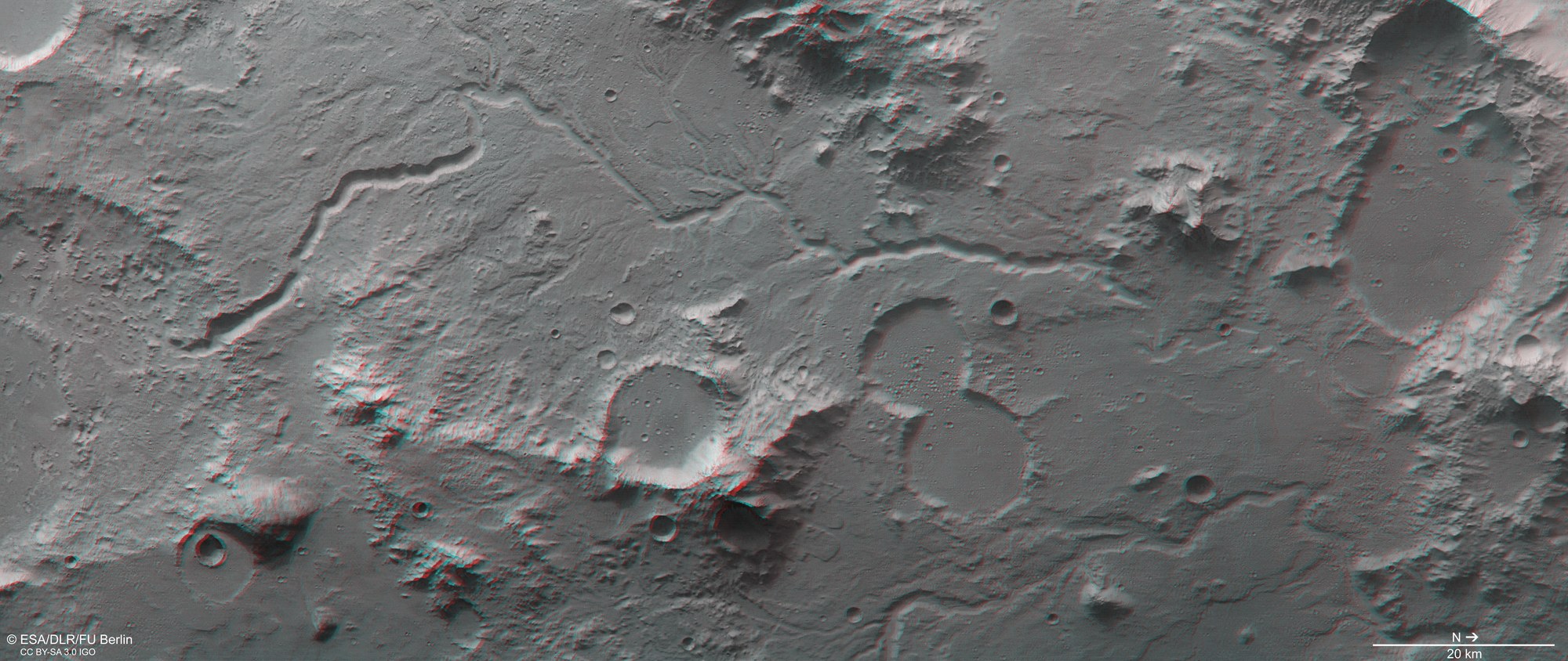
Anaglyph image of part of the Libya Montes region

Anaglyph image of part of the Libya Montes region
Anaglyph images can be generated from data acquired by the nadir channel of HRSC, which is aligned perpendicular to the surface of Mars, and one of the four stereo channels, which look forward and backwards along the spacecraft’s flight path. These provide a realistic three-dimensional view of the landscape when viewed using red and blue or red and green glasses. North is on the right of the image. The deeply carved drainage channels are clearly discernible, as is the levelling-off of some impact craters by solidified, low-viscosity lava.