Topographical overview map of the area around the Sirenum Fossae

Topographical overview map of the area around the Sirenum Fossae
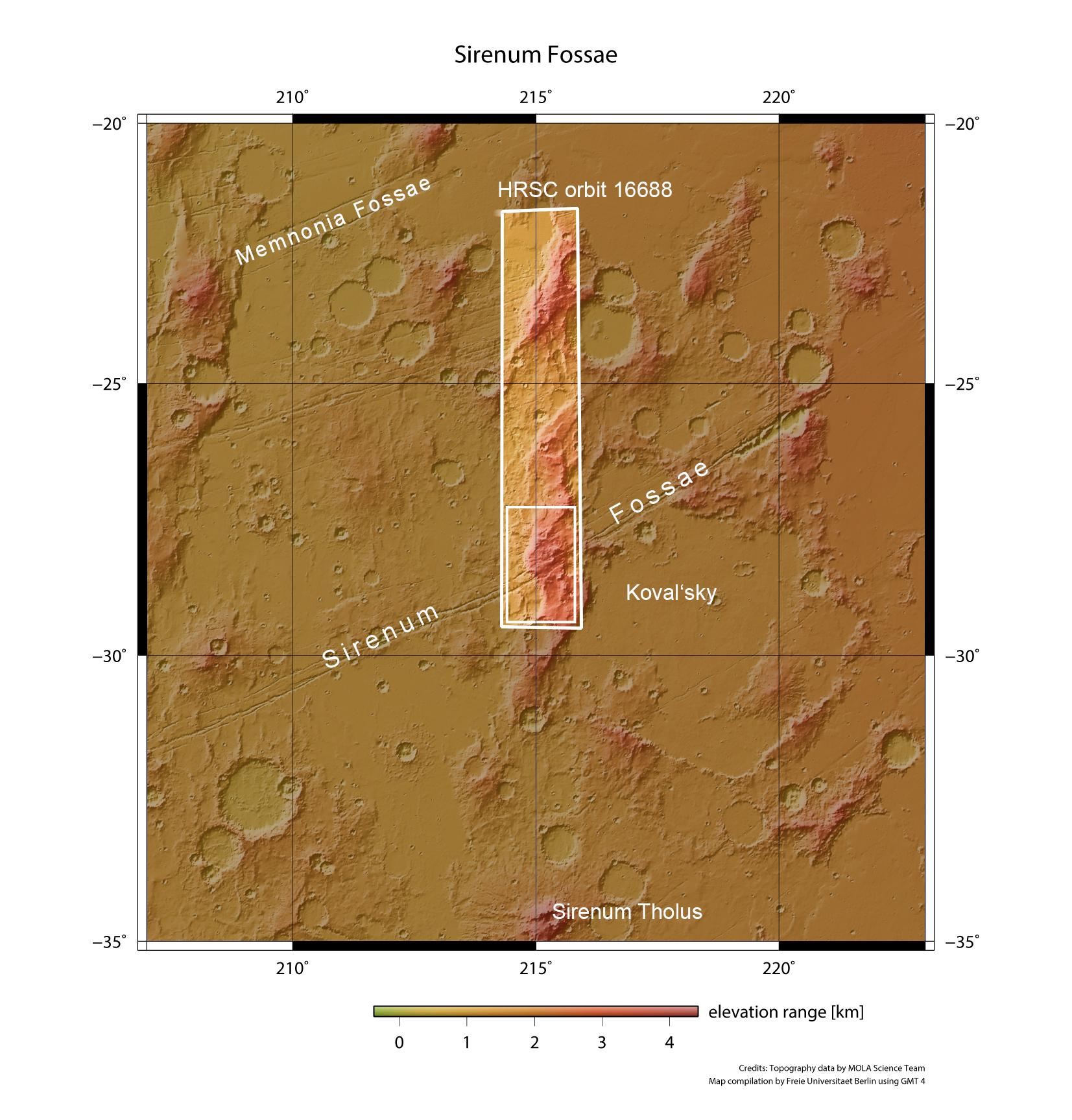
Sirenum Fossae is a graben system caused by tectonics, that is to say movements resulting from tension in the Martian crust. They are up to nine kilometres wide, several hundred metres to one and a half kilometres deep, and are found in the Tharsis region, which is a bulge in the Martian crust the size of Europe. The images in this article were acquired in the area of the small rectangle at the southern end of the filmstrip recorded by the HRSC camera system on board the ESA Mars Express spacecraft during orbit 16688.