Sulphur dioxide map – volcanic eruption on Bali

Sulphur dioxide map – volcanic eruption on Bali
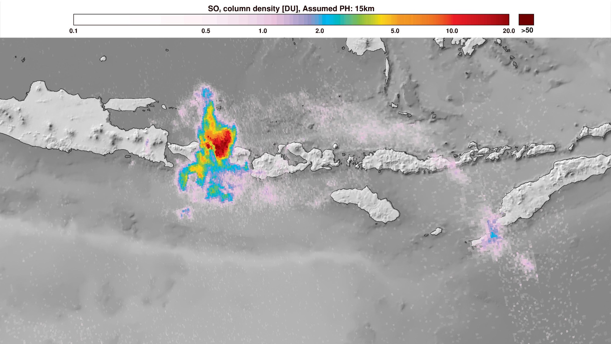
On 27 November 2017, the Copernicus Sentinel-5P satellite captured the ash and gas cloud from the eruption of the Gunung Agung volcano in Bali, Indonesia. As the map shows, the mission measured not only various air pollutants, but also aerosols. The image includes modified Copernicus Sentinel data from 2017, which was processed by DLR and ESA.