Topographic image map of part of Nereidum Montes

Topographic image map of part of Nereidum Montes
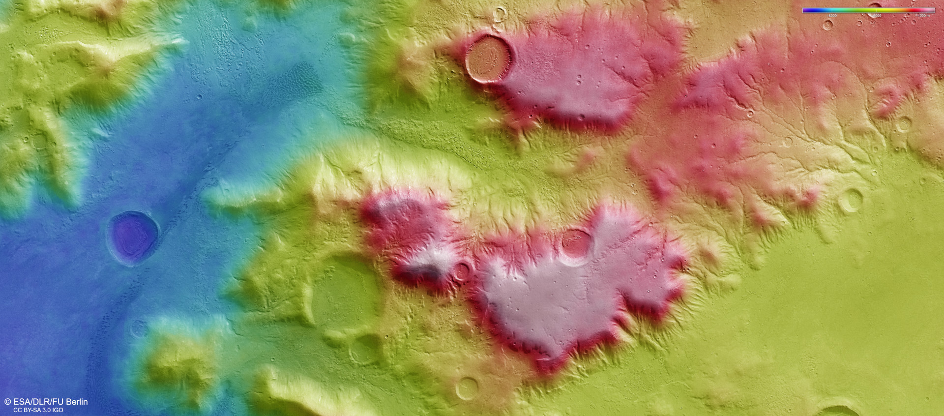
Scientists from DLR and Freie Universität Berlin are computing digital terrain models from image strips of the Martian surface, acquired from different angles by the High Resolution Stereo Camera on board Mars Express. In this process, height information is assigned to every pixel. The colour coding of the digital terrain model (see key at top right) provides information about height differences in the north-eastern part of Nereidum Montes. North is to the right of the image. The red-coloured high plateaus tower more than 4000 metres over the surrounding lowlands, which are coloured blue. This representation effectively shows even minor details of the landscape, which has been formed by different erosion processes.