Figure 2c.
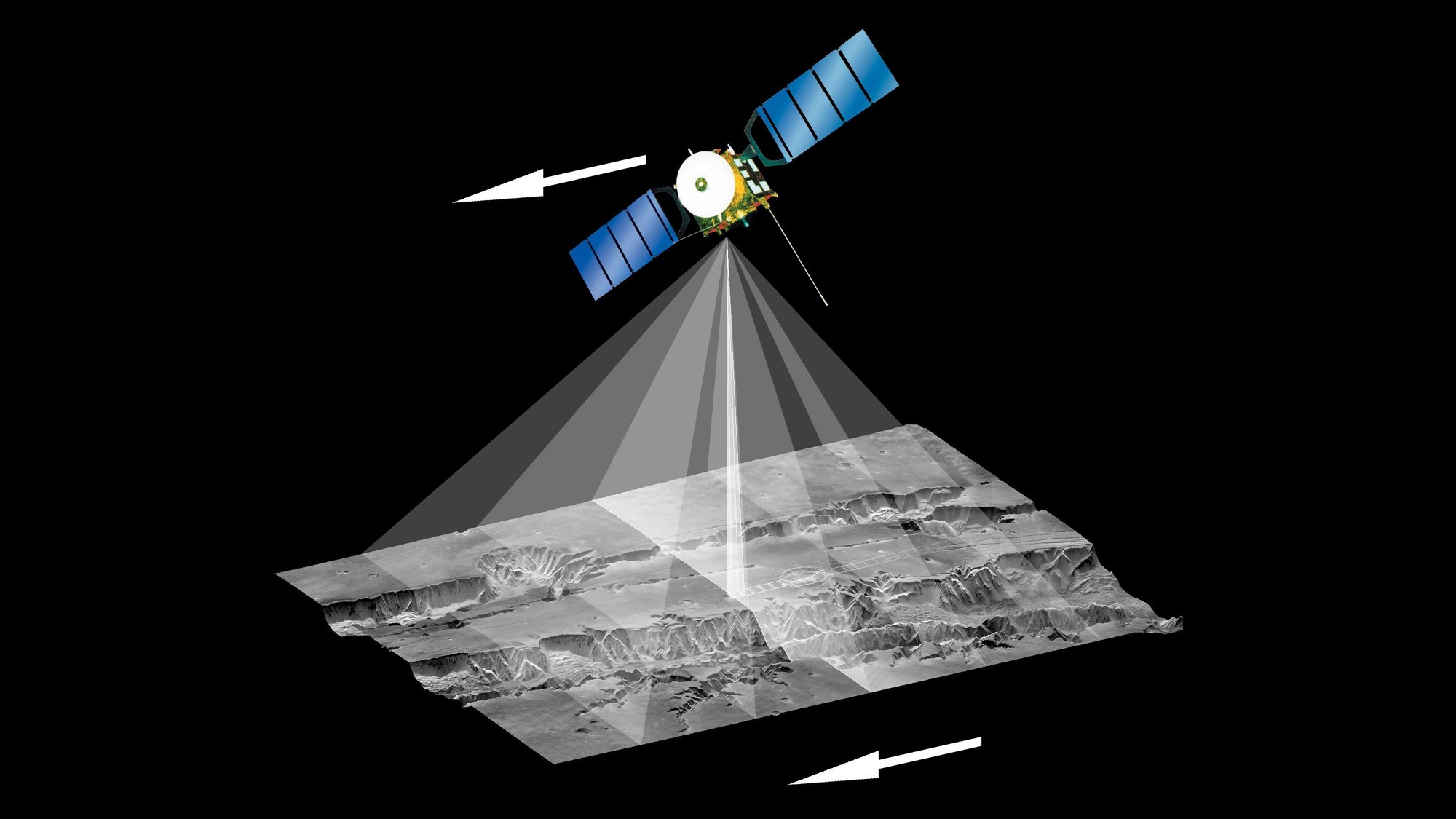

Figure 2c.
To produce stereo images, it is necessary to scan the surface from a variety of viewing angles (see above). This is why the HRSC has more than one sensor line. Two additional lines look forward (relative to the flight path), while two also point backward. This means that each point on the surface is scanned successively from five different viewing angles (Figure 2c). Computers are used to convert this data into elevation information.