TanDEM-X captures Inuvik

TanDEM-X captures Inuvik
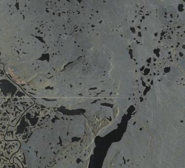
During this acquisition of TanDEM-X, the 13-metre satellite dish of the Inuvik satellite station followed the satellite flight path and therefore acted as a radar reflector. It appears as a bright cross on the radar image. The town of Inuvik is at the top left of the image and the airport is located towards the lower right.