'm4 mountains – the fourth dimension': DLR publishes new book with Reinhold Messner
September 15, 2016
'm4 mountains – the fourth dimension': DLR publishes new book with Reinhold Messner
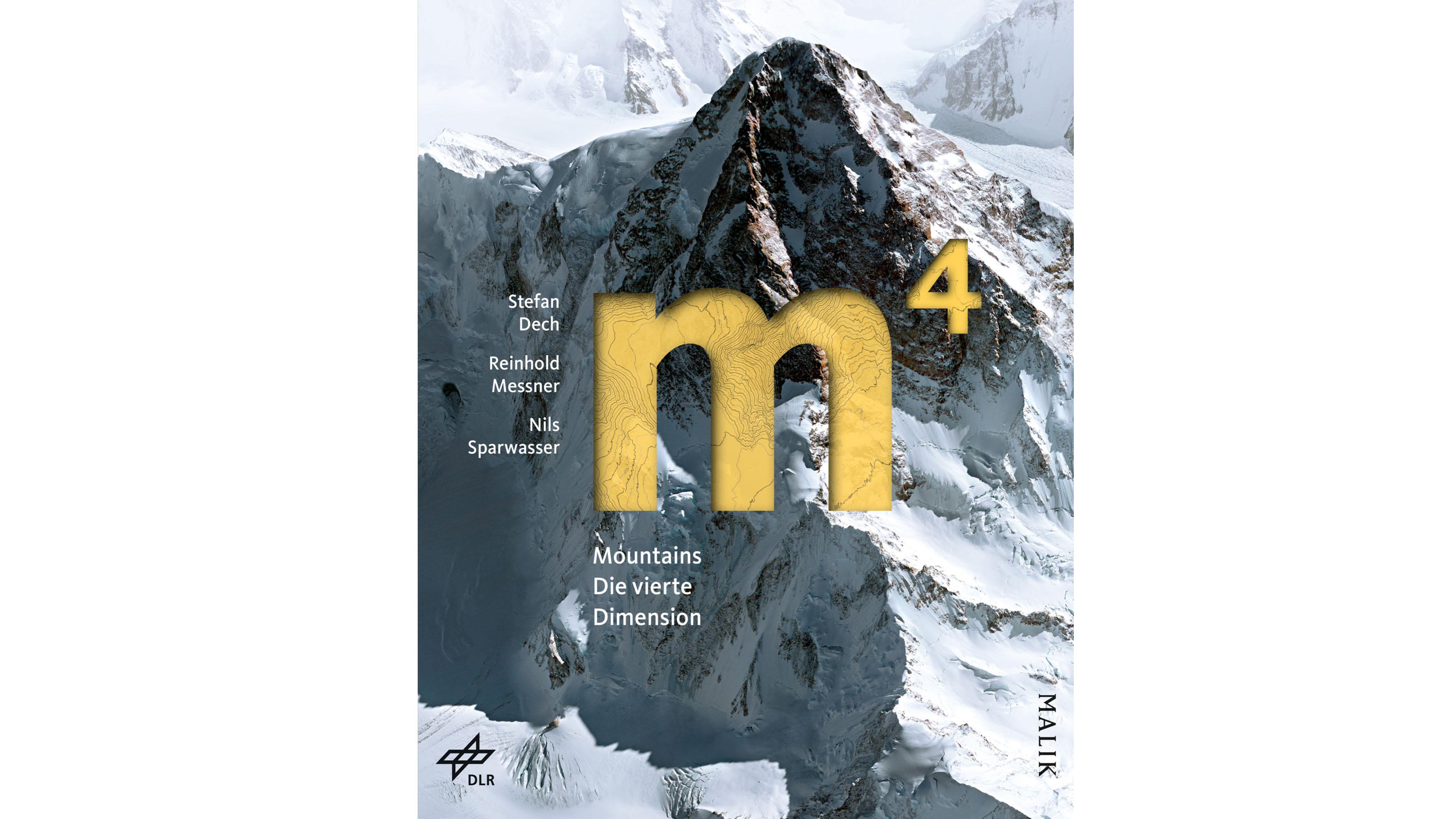
Book cover of 'm4 Mountains - Die vierte Dimension'
In 200 pages, Stefan Dech and Nils Sparwasser (both DLR), together with mountaineering legend Reinhold Messner, show some of our planet's fascinating mountains in a completely innovative way.
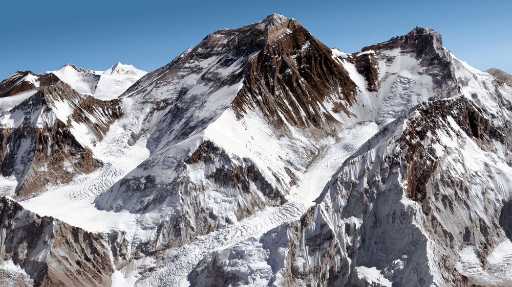
Advanced photogrammetric processing methodology developed at DLR's Earth Observation Center (EOC), combined with very high resolution optical satellite data, make it possible to measure and display huge mountains, like the Mount Everest, in a photographically realistic manner and with unprecedented quality.
With a new Malik Verlag publication, 'm4 Mountains – Die vierte Dimension' (m4 mountains – the fourth dimension), the German Aerospace Center (Deutsches Zentrum für Luft- und Raumfahrt; DLR) presents another image book from the world of satellite-supported Earth observation. In 200 pages, Stefan Dech and Nils Sparwasser, together with mountaineering legend Reinhold Messner, show some of our planet's fascinating mountains in a completely innovative way. Advanced photogrammetric processing methodology developed at DLR's Earth Observation Center (EOC), combined with very high resolution optical satellite data, make it possible to measure and display huge mountains in a photographically realistic manner and with unprecedented quality. With a selection of 13 mountains and personal recollections of the experiences of outstanding mountaineers, Reinhold Messner condenses the history of alpinism and supplies a kind of 'fourth dimension (m4)' to three-dimensional maps generated with Earth observation technology. Messner points out: "The images produced by DLR gave me the possibility to communicate the history of alpinism in an entirely new way."
Combined with specially produced topographic maps, supplemental geographic information and succinct information graphics, individual portraits emerge that capture the unique character of each of the mountains.
DLR presents another image book from the world of satellite-supported Earth observation.
Video: m4 mountains – the fourth dimension
Your consent to the storage of data ('cookies') is required for the playback of this video on Youtube.com. You can view and change your current data storage settings at any time under privacy.
Video: m4 mountains – the fourth dimension
DLR presents another image book from the world of satellite-supported Earth observation.
Data for calculating a highly precise terrain model were acquired over a period of two years in close cooperation with the French space agency CoRoT Special and European Space Imaging in Munich. For this purpose, the recording parameters for the employed Pléiades and WorldView satellites were optimised step by step in consultation with DLR scientists. When flying over the target area, the satellites' measuring and recording instruments acquired data for three images in quick succession. For each pixel, a corresponding point in the image 'triplets' was identified at the EOC using the so-called 'semi-global matching' methodology. As in human vision, a three-dimensional terrain model can be reconstructed from the angular differences in the individual images. Finally, photorealistic virtual images of the mountains could then be created on the computer using the generated elevation models and the colour information contained in the individual spectral channels. These can be viewed from any direction and can be flown around virtually.
Thanks to this method, readers can obtain a spectacular view of 13 rocky masses from perspectives that are not possible with conventional approaches. "By combining a scientifically generated picture with authentic recollections from mountaineers, the challenges posed by the mountains can be experienced in a unique way," explains Dech, co-author and one of the directors of the Earth Observation Center.
Terrain models are essential resources for spatial planning and analysis. For this reason, DLR developed the TanDEM-X mission, which has generated the best complete terrain model of Earth's surface. For the extremely detailed images shown in the book, however, even higher resolution optical data were used, which are only available for specific locations.
"Science – it leads to knowledge for a worthwhile future," wrote Pascale Ehrenfreund, Chair of the DLR Executive Board, in her introduction to the book. "If we are to reach this goal, the science community must communicate better with society at large and overcome interdisciplinary limitations. Unusual and fascinating projects such as this one are a step in the right direction."


