Combination of data

Combination of data
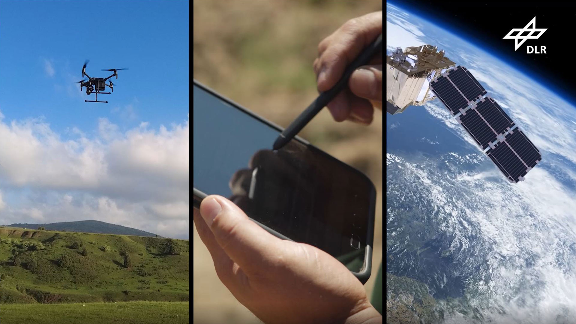
The data acquired via Earth observation, from the on-site specialists via the app and from the drone surveys converge within a geographic information system (GIS) and can be displayed on maps. The international Locust-Tec project aims to introduce innovative and environment-friendly technologies for locust management.