Topographic overview map of the Olympus Mons volcano and the northwest aureole

Topographic overview map of the Olympus Mons volcano and the northwest aureole
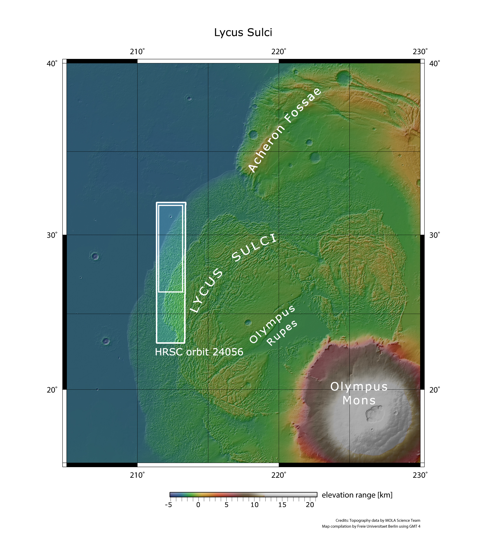
On 18 January 2023, during orbit 24,056, ESA’s Mars Express spacecraft imaged the Lycus Sulci region, which lies to the northwest of Olympus Mons. This area is characterised by chains of hills created by landslides and landslips along the base of the almost 22-kilometre-tall volcano. The image strip is approximately 95 kilometres wide. The landscapes shown in the images presented here are located in the inner rectangle in the northern part of the image strip.