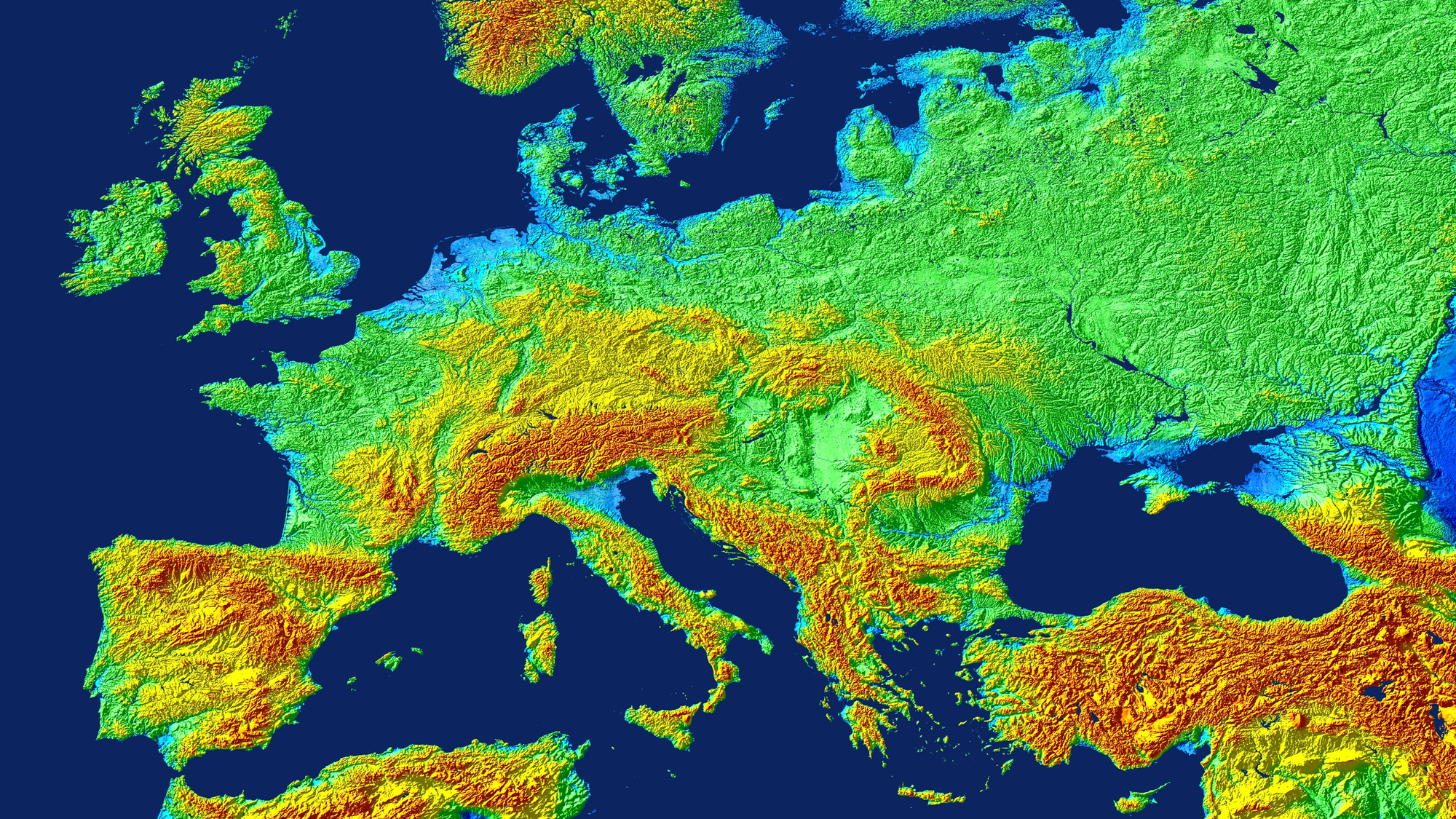
Visualisation of the TanDEM-X digital elevation model over central and southern Europe

Visualisation of the TanDEM-X digital elevation model over central and southern Europe
Clearly recognisable here are the Alps (centre), the Po Valley in northern Italy and the Great Hungarian Plain, which is bordered by the Carpathian Mountains.