BIOMASS radar image –The 'Philippines' in the Maluku Islands, also known as the Spice Islands, in eastern Indonesia

BIOMASS radar image –The 'Philippines' in the Maluku Islands, also known as the Spice Islands, in eastern Indonesia
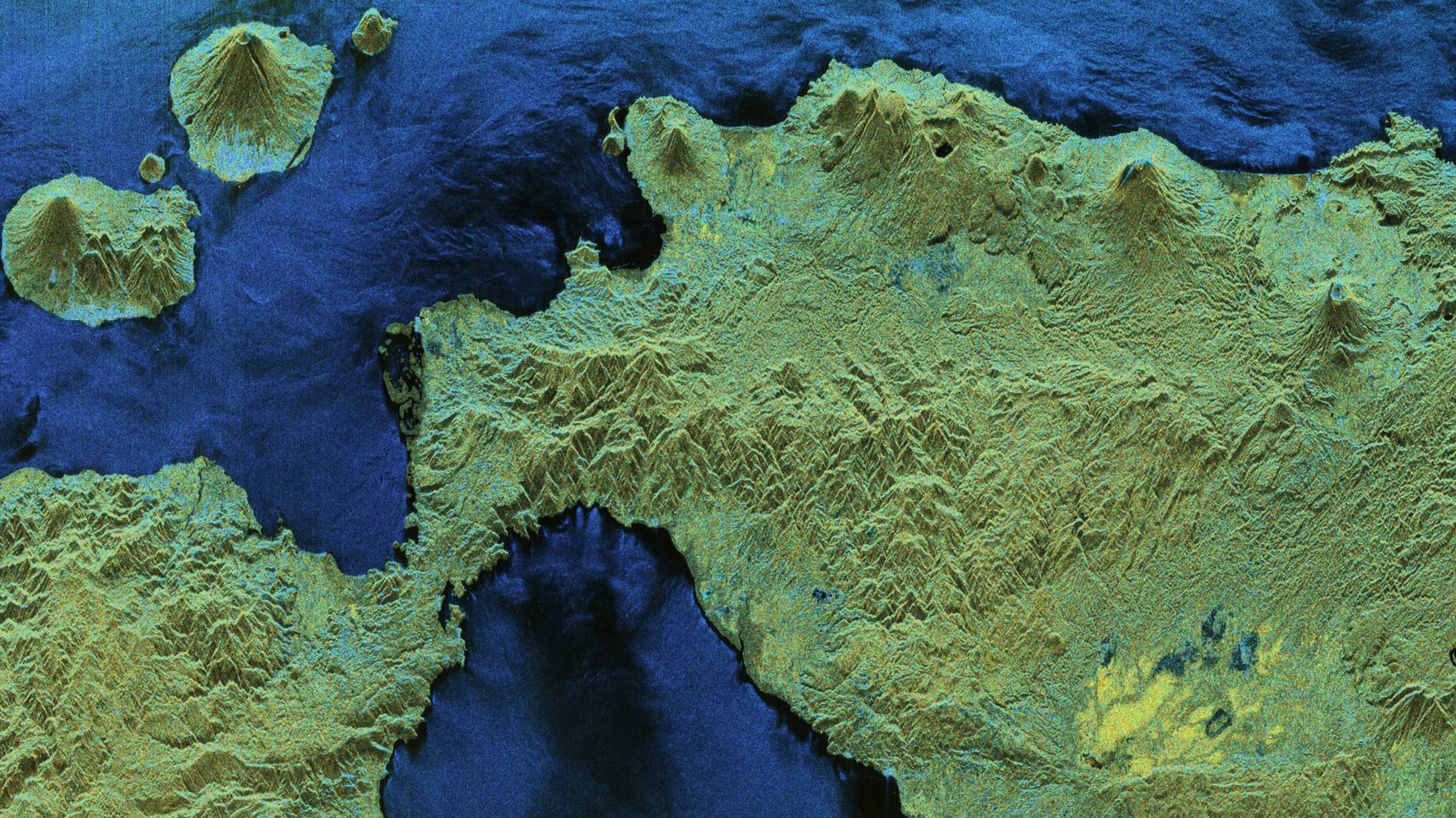
Most of these islands are mountainous, with both extinct and active volcanoes. Dense rainforests – part of the larger Indonesian rainforest ecosystem – cover many of the islands.
Polarimetric HSI representation (hue, saturation, intensity): The colour (hue component) indicates the type of scattering mechanism. Blue colours represent surface-like scatterers (like bare ground), green tones represent dipole-like scatterers (such as vegetation or volumetric scatterers) and red colours indicate dihedral-like scatterers (such as interactions between ground and tree trunks in forests or between ground and building walls in urban areas). These images and results were produced as part of the ESA-funded 'ESA Biomass In-Orbit Commissioning' project. All radar images were processed by DLR.
Credit:
ESA