Topographic image of the region north of Eumenides Dorsum

Topographic image of the region north of Eumenides Dorsum
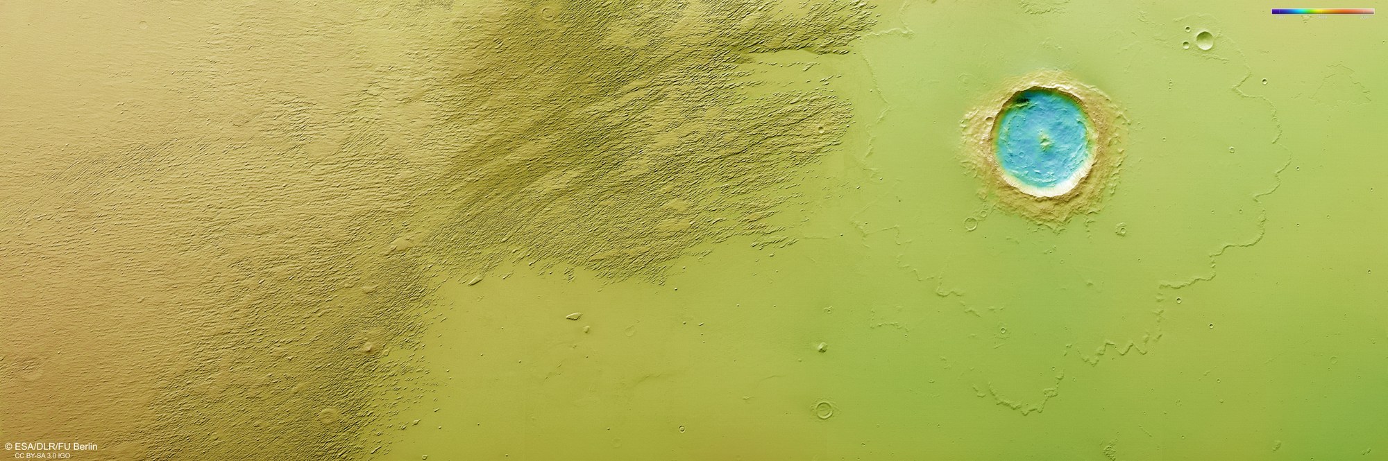
DLR's High Resolution Stereo Camera (HRSC) on board Mars Express captures the Martian surface from multiple viewing angles using nine sensors. From this data, the DLR Institute of Space Research and Freie Universität Berlin generate digital terrain models. The colour scale at the top right of this image indicates the elevation values. The negative values indicate that this view is of the northern lowlands. The striking crater in the centre of the image measures just over 20 kilometres across and is approximately 1200 metres deep.