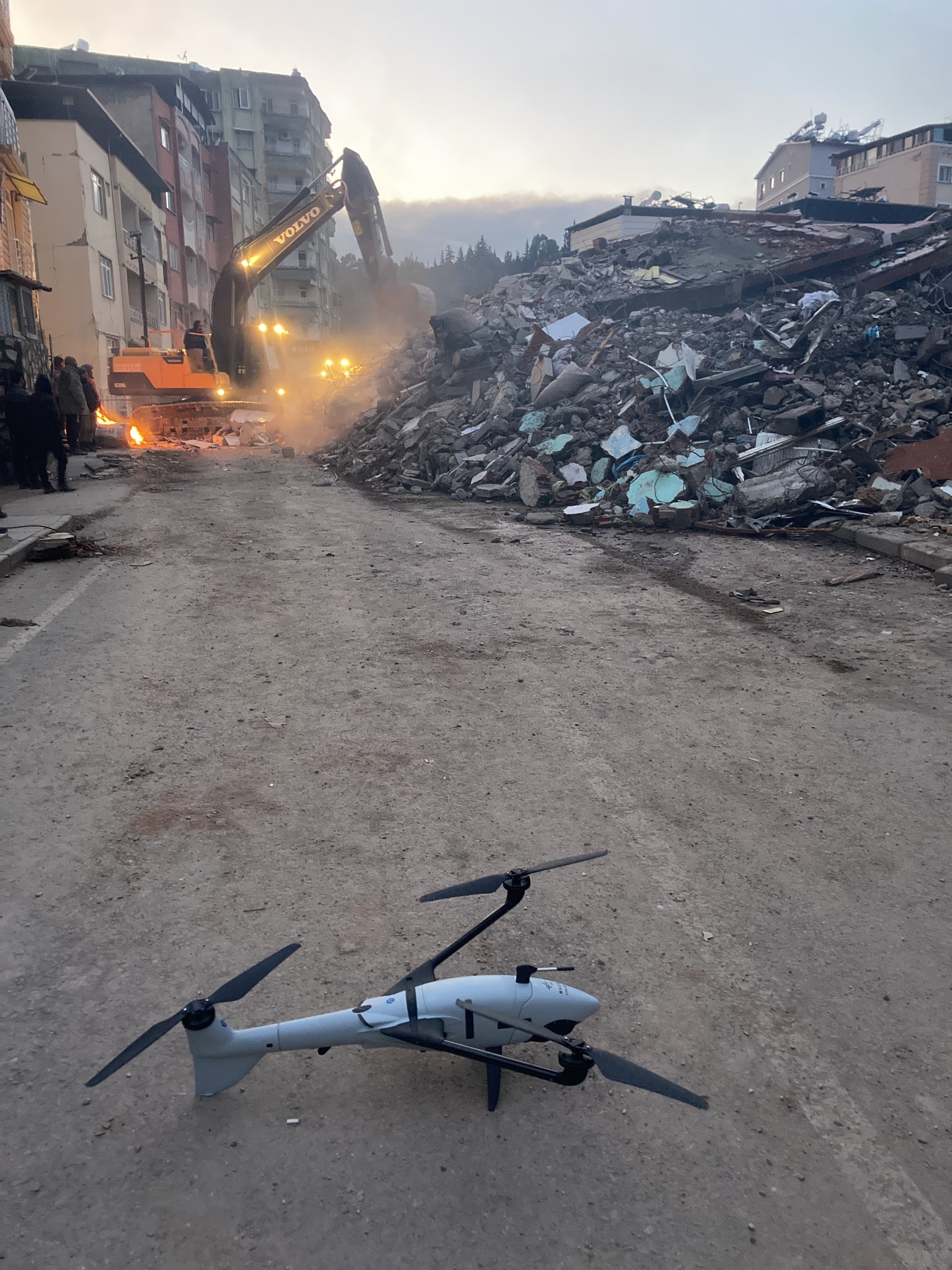
First, the team mapped the city of Kırıkhan with a smaller drone system.

First, the team mapped the city of Kırıkhan with a smaller drone system.
Aerial images made available as soon as possible are enormously helpful for the effective coordination of emergency responders on site.
Credit: DLR (CC BY-NC-ND 3.0)