HALO in the Caribbean – tropical cloud research


What effects do tropical clouds have on our climate? Do they warm up or cool down the atmosphere? What factors do they influence? Even the latest models do not fully understand the effects of these climate-influencing 'clouds'. Scientists from the German Aerospace Center (Deutsches Zentrums für Luft- und Raumfahrt; DLR), together with partners from other research institutions, went to the Caribbean to investigate these questions. On 8 August, the DLR-operated research aircraft HALO (High Altitude and Long Research Aircraft) took to the skies from Oberpfaffenhofen in Bavaria to travel some 7500 kilometres to tropical Barbados. This direct research and transfer flight forms part of the EUREC4A (Next generation Aircraft Remote-sensing for Validation) campaign. The Max Planck Institute for Meteorology is responsible for the scientific management of the measurement flights.
Improved forecasts for a better climate
The aim of the campaign is to improve our understanding of the relationship between clouds, air circulation and the climate over the tropical ocean. More detailed information about the nature of clouds and their constituents will then lead to the validation and refinement of climate models. This is a complex field of study because the clouds that form in the tradewind region cover a large area of the Earth, and therefore have a significant influence on just how much the atmosphere is able to mitigate global warming through changes in cloud formation.
Research into cloud formation
Studies carried out south east of Barbados allowed scientists to test their hypotheses related to the convection processes of clouds. In meteorology, convection is defined as the process during which warm air rises, which leads to the formation of cumulus clouds in the sky. These kinds of clouds have a sharp outer boundary and often take the shape of piles or heaps.
Atmospheric researchers are investigating which mechanisms on the ground, as well as in the atmosphere, affect air circulation. At the same time, they are looking into the type of clouds these processes lead to. Their research will also examine the size of ice particles and water droplets within the clouds. The ice phase, as it is known, is of particular interest when studying the life-cycle of cumulus clouds, as it is believed to have a great impact on the climate. This is because high altitude ice clouds have a different effect on the climate than those found at lower altitudes and that cover a wider area.
The focus here will be on the effect that a cooling atmosphere has on air layers, which in the tropics develop into cloud clusters. HALO will be used here to drop numerous dropsondes. "Due to the considerable number of dropsondes used during our flights, accurate communication with the checkpoints on the ground was vital," says Steffen Gemsa, a DLR research pilot. "Being able to fly at relatively low altitudes – in other words below that of regular passenger planes, as well as in areas where there is a low volume of traffic – made our work in the skies much easier."
Parachute research
Dropsondes are measuring devices that are dropped from an aircraft and fall to the ground by parachute. During their descent, they acquire data on pressure, temperature and humidity in the air. This enables data to be gathered over a large area. In particular, data on the vertical movement of convection, as well as the heat and humidity budget, can be recorded in an area stretching hundreds of kilometres for several hours.
The measurement flights with HALO are being conducted in conjunction with stationary measurements being carried out at the Cloud Observatory of the The Cloud Observatory on Barbados, in addition to data gathered from satellites. The remote sensing device on HALO also validates data obtained by the Cloudsat, Calipso, Meghatropique and GPM satellites during its research flights.
Additional expertise
The flight path is determined on a daily basis. Scientists from the DLR Institute of Atmospheric Physics and the pilots and experts from the DLR Flight Operations (FB) analyse the satellite images and current weather data, continuously on the lookout for areas where cloud clusters are developing. A total of 80 flight hours will enable them to study their own research questions, as well as support their scientific partners with their research. "Our scientific focus is on the issues surrounding how cloud properties differ during dry and wet periods, and how the presence of aerosols affects cloud formation and their properties," explains Silke Groß from the DLR Institute of Atmospheric Physics in Oberpfaffenhofen. "We will also measure the vertical distribution of the water vapour content, as well as the properties of the aerosol and clouds along the flight path."
Two manoeuvres above the clouds
HALO, the most modern of DLR's 13 research aircraft, is performing two different manoeuvres. First, to investigate emerging cloud clusters, the pilots will circle around the cloud tower in order to gather as much data as possible during its formation. These flights will be carried out at an altitude of around 10 kilometres, in the troposphere, which is the lowest layer of the Earth's atmosphere. "One of our aims is to measure the vertical velocity of cloud towers for the first time," Principal Investigator of the mission Bjorn Stevens of MPI for Meteorology in Hamburg, explains. "Based on the initial analysis of the data, we are confident that the measurements were taken successfully, and that we now have additional important pieces of the puzzle, which will enable us to understand the formation and development of clouds."
The second manoeuvre will enable scientists to measure the development of high altitude convection air masses over a large area. For this, HALO will fly through significantly higher layers of the atmosphere, on uniform, adjacent paths. Scientists are particularly interested in the altitude at which water droplets in clouds start to freeze. Radar and other methods will target the ice particles. Initial analyses indicate that the formation of ice starts at a much lower level in the troposphere than previously thought. Overall, these findings contribute to the development of more precise climate models and a better understanding of tropical cloud circulation.
About the project
The NARVAL II project is a joint project by the Max Planck Institute for Meteorology, the DLR Institute of Atmospheric Physics, and the Universities of Munich, Cologne, Hamburg and Leipzig. Research conducted as part of NARVAL II also serves as preparation for the experimental strategy for several international aircraft as part of greater field experiment within the French-German EUREC4A initiative, which is planned for 2019.
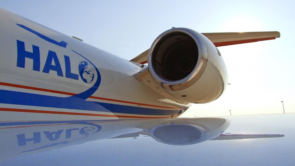
About HALO
The HALO research aircraft is a joint initiative involving German environmental and climate research institutions. HALO is supported by grants from the Federal Ministry for Education and Research (BMBF), the German Research Association (DFG), the Helmholtz Association, the Max Planck Society (MPG), the Leibniz Association, the Free State of Bavaria, the Karlsruhe Institute of Technology (KIT), the German Research Centre for Geosciences in Potsdam (GFZ), the Jülich Research Centre and the German Aerospace Center (DLR).