TerraSAR-X

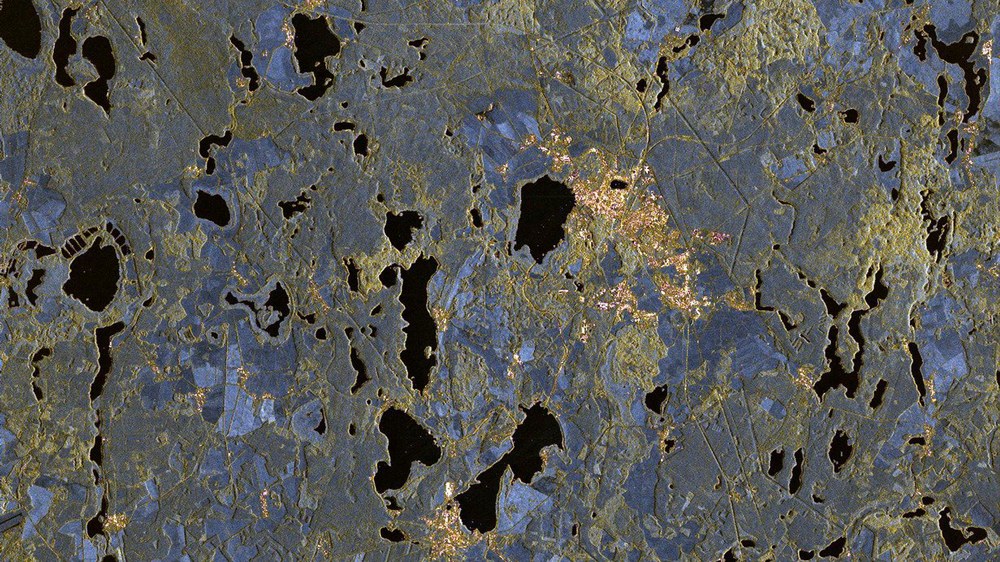
TerraSAR-X is a radar mission run by the German Aerospace Center (Deutsches Zentrum für Luft- und Raumfahrt; DLR) and Airbus Defence and Space that utilises a German remote sensing satellite of the same name. A nearly identical satellite, TanDEM-X, is also part of the mission. Both Synthetic Aperture Radar (SAR) satellites carry a radar sensor to enable high-resolution Earth observation from space.
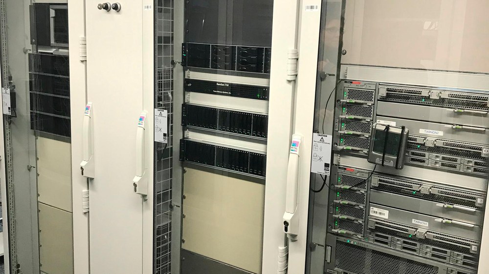
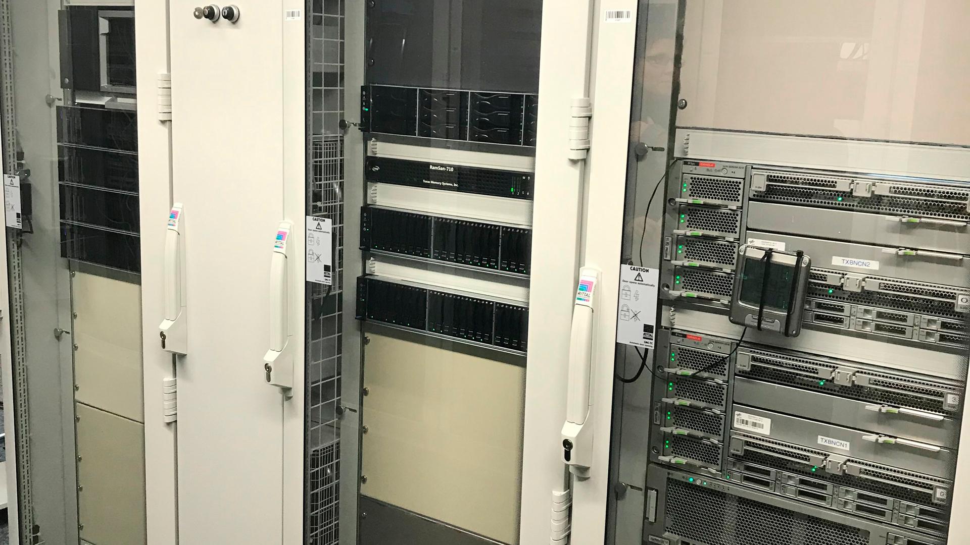
The large-scale facility dedicated to the mission is based at the DLR site in Neustrelitz; it is responsible for recording and decrypting data after its transfer to the ground station and, subsequently, for processing the information into image products.
The facility, which is part of Remote Sensing Technology Institute (IMF), was designed specifically to accommodate the radar mission’s requirements. The facility has been operational for 365 days a year since 2007 to process the mission data from the TerraSAR-X and TanDEM-X satellites.
The core component of the facility is the TerraSAR Multimode SAR Processor (TMSP), which was developed at DLR’s Remote Sensing Technology Institute. In addition to the systematic generation of level zero products, TMSP also creates level one products for the TerraSAR-X mission, which are ordered by users. This involves processing of both the data received directly in Neustrelitz and Svalbard, as well as the data returned to DLR by the international receiving stations.
Data of vital importance to human life
All data products are created and provided to the scientific users of the TerraSAR-X mission, as well as to the commercial users supplied by Airbus Defence ad Space. Such products can be processed and provisioned in near real time (NRT) directly after receipt; in addition, they can be made available as standard ¬deliveries or catalogue orders from the long-term archive. The number of products created each year is rising continuously; for instance, more than 76 000 products were processed in 2018 alone.
TerraSAR-X enables further development of techniques and insight acquired from earlier radar missions. As part of the mission, systematic long-term observations are also carried out, such as the monitoring of glacier melt, which is extremely important for studying climate change. Inferometric applications for large-scale monitoring of Earth’s movements have also become increasingly important. In addition, data is used in the maritime sector for the detection of oil and seafaring vessels, among other things. One of the most prominent features of TerraSAR-X is its high spatial resolution, which is currently unparalleled by any civilian radar system.