Fast assistance from the air

Fast assistance from the air
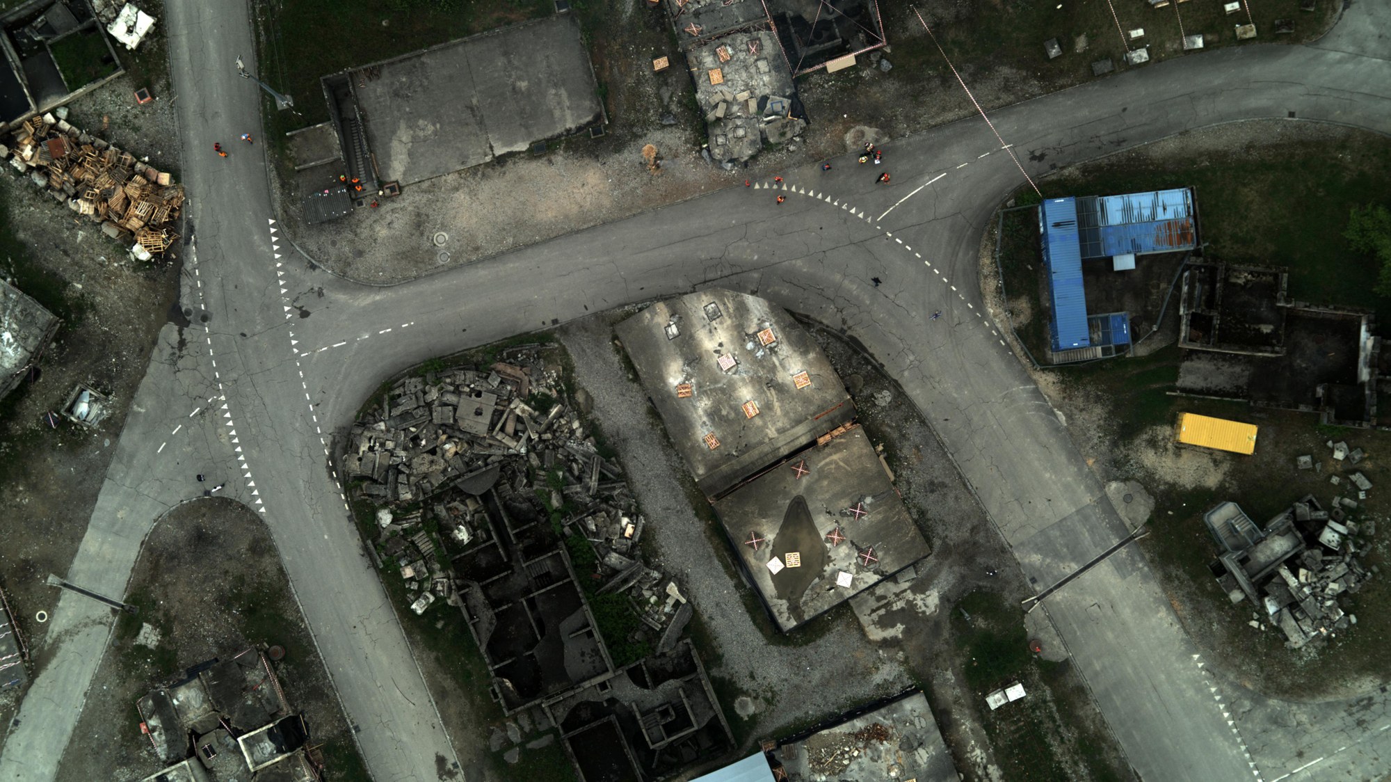
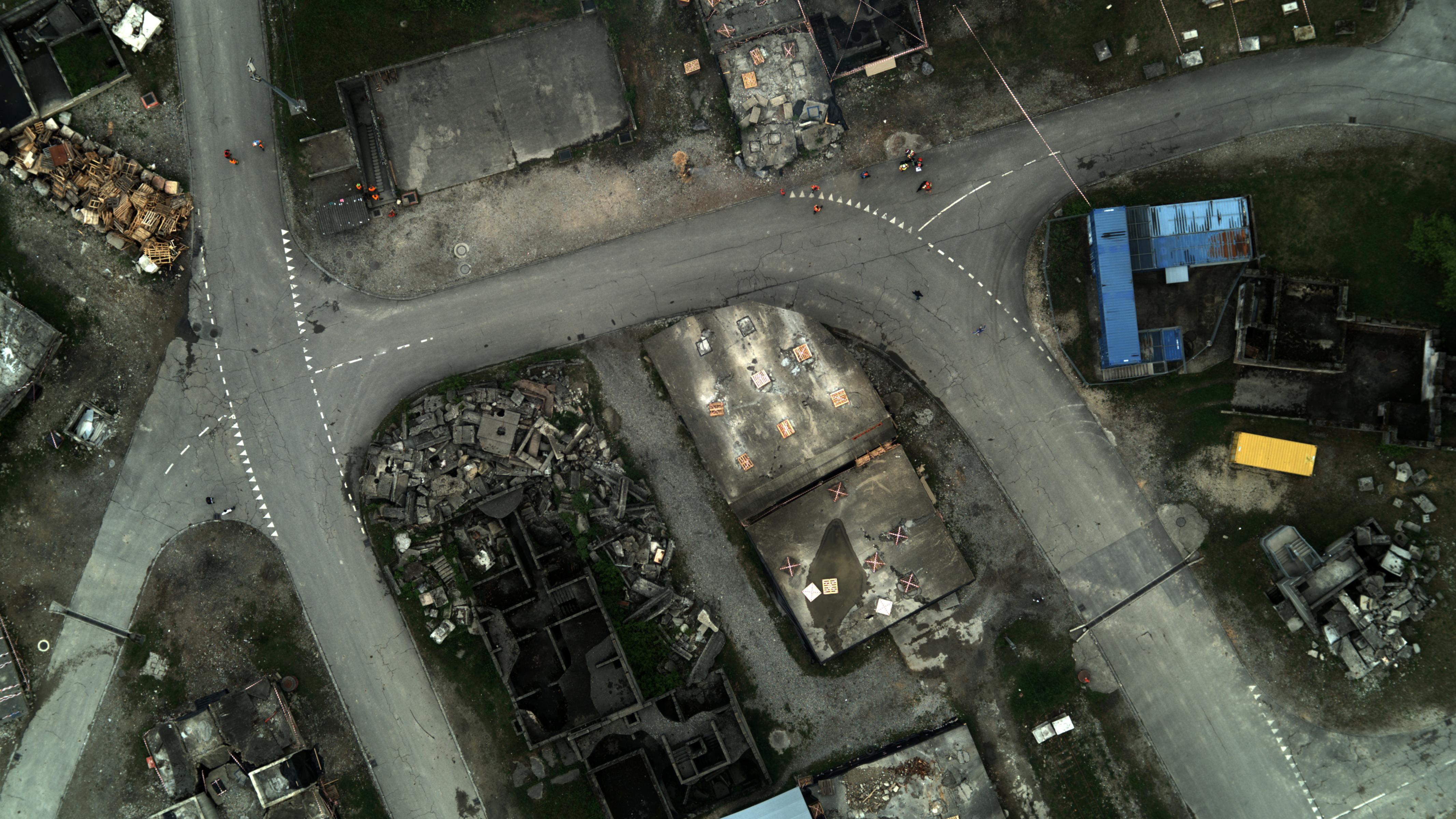
In the case of an earthquake, a flood disaster or explosion, the MACS camera system delivers corresponding map materials, which project the latest aerial images directly onto a globally accessible surface model of Earth and superimposes them onto a digital map. Thus, the rescue team can quickly get an overview of the extent of the catastrophe on the ground, quickly plan possible rescue routes and implement appropriate relief measures effectively.