Topographic overview map of the border region between Margaritifer Terra and Noachis Terra

Topographic overview map of the border region between Margaritifer Terra and Noachis Terra
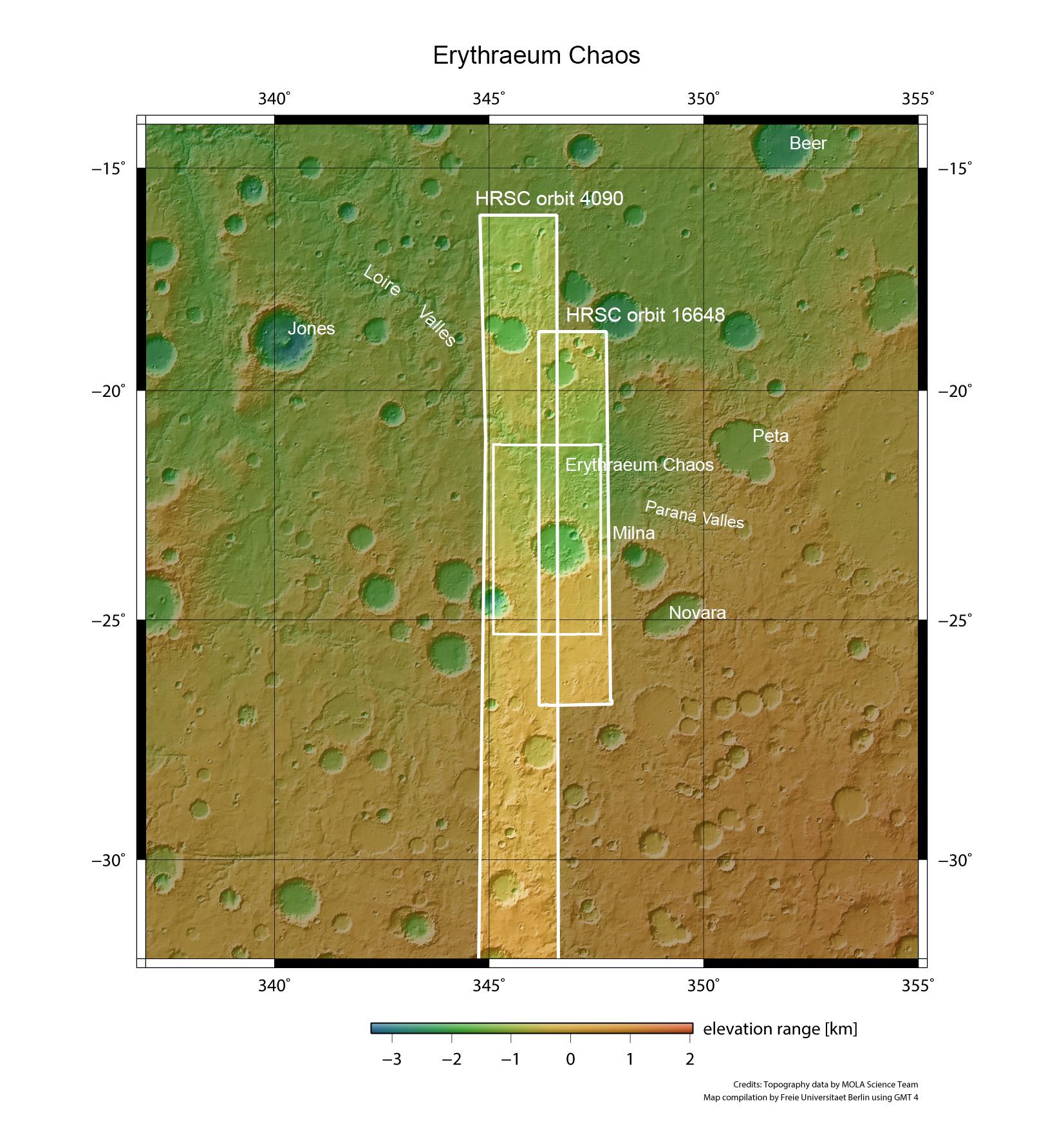
This overview map shows the southern boundary of the Margaritifer Terra region with Noachis Terra. The colour coding of the image emphasises the altitude differences on the surface (green means low lying, brownish means higher). The images presented in this article are taken from the small rectangle within the two image strips taken by the HRSC camera during orbits 1648 and 4090.