Satellite Geodesy and Inertial Sensing

Satellite Geodesy and Inertial Sensing
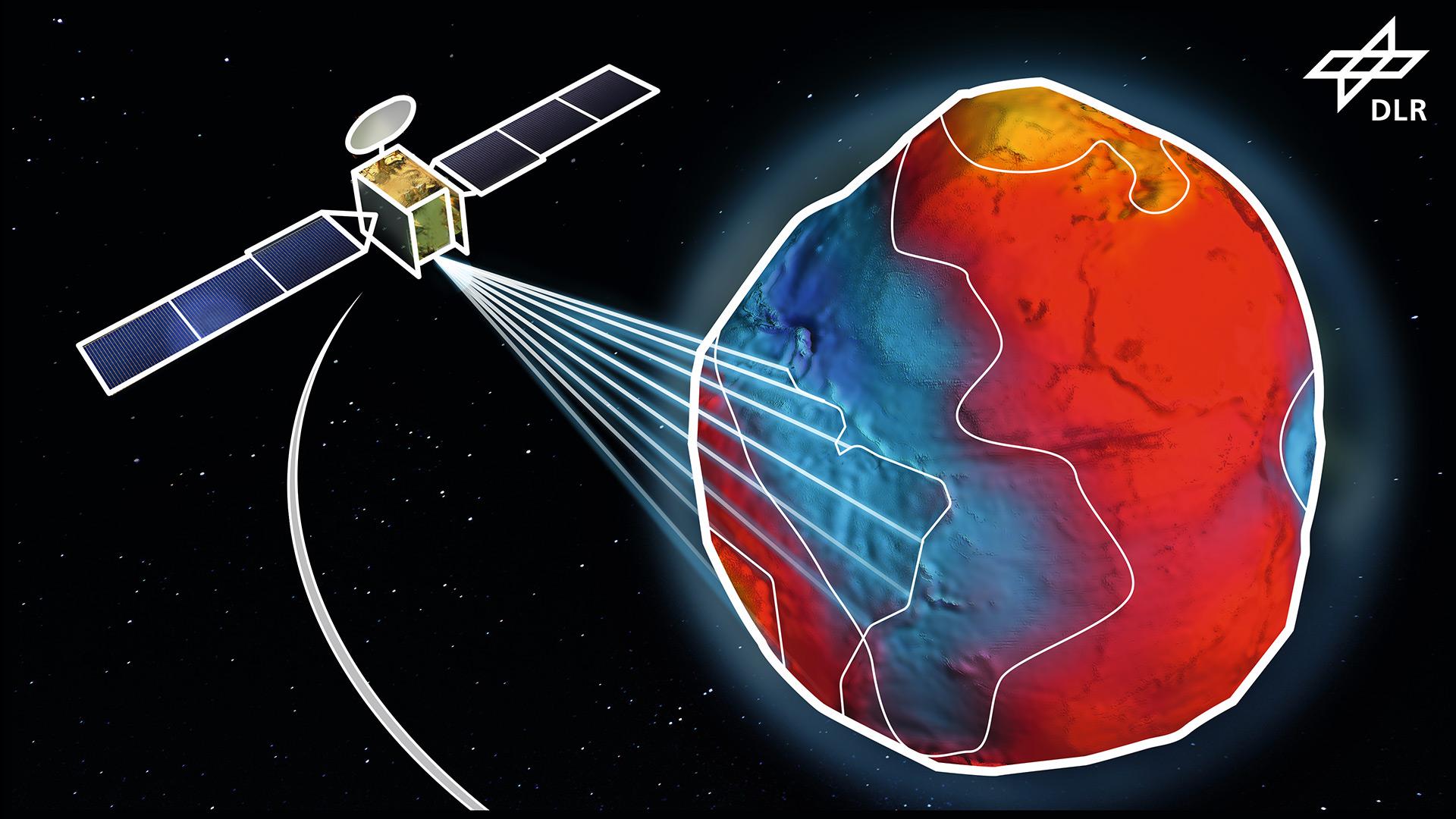
With the establishment of the Institute for Satellite Geodesy and Inertial Sensing in Hanover, DLR is enhancing its expertise in the field of application-oriented sensor technology for novel satellite missions, for example in the field of satellite-based Earth monitoring. The Institute will develop novel inertial sensors based on quantum technology and implement promising quantum optical methods for use in space. Applications range from miniaturised quantum sensors to satellite-supported measurements of natural phenomena on Earth, such as the investigation of ice mass losses or the effects of field irrigation on the availability of drinking water.