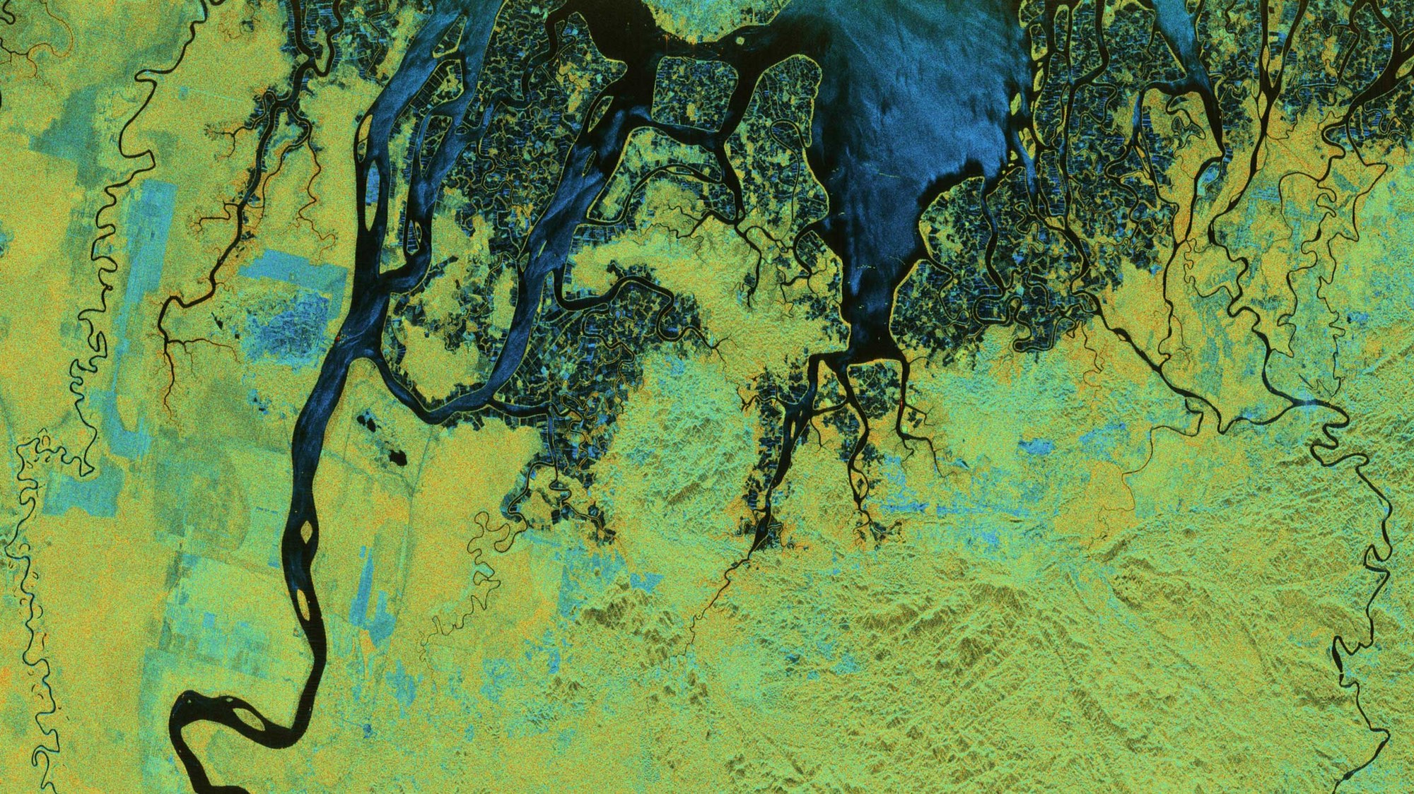
BIOMASS radar image – Tarakan on the northeast coast of Borneo in North Kalimantan, Indonesia

BIOMASS radar image – Tarakan on the northeast coast of Borneo in North Kalimantan, Indonesia
In the polarimetric image, water and unvegetated fields appear in shades of blue, while the forested areas appear in shades of red, indicating strong interaction between the ground and tree trunks. The flooded forests have a particularly intense red hue due to enhanced water-trunk scattering.
Polarimetric HSI representation (hue, saturation, intensity): The colour (hue component) indicates the type of scattering mechanism. Blue colours represent surface-like scatterers (like bare ground), green tones represent dipole-like scatterers (such as vegetation or volumetric scatterers) and red colours indicate dihedral-like scatterers (such as interactions between ground and tree trunks in forests or between ground and building walls in urban areas). These images and results were produced as part of the ESA-funded 'ESA Biomass In-Orbit Commissioning' project. All radar images were processed by DLR.
Credit:
ESA