Topographic overview map of Utopia Planitia

Topographic overview map of Utopia Planitia
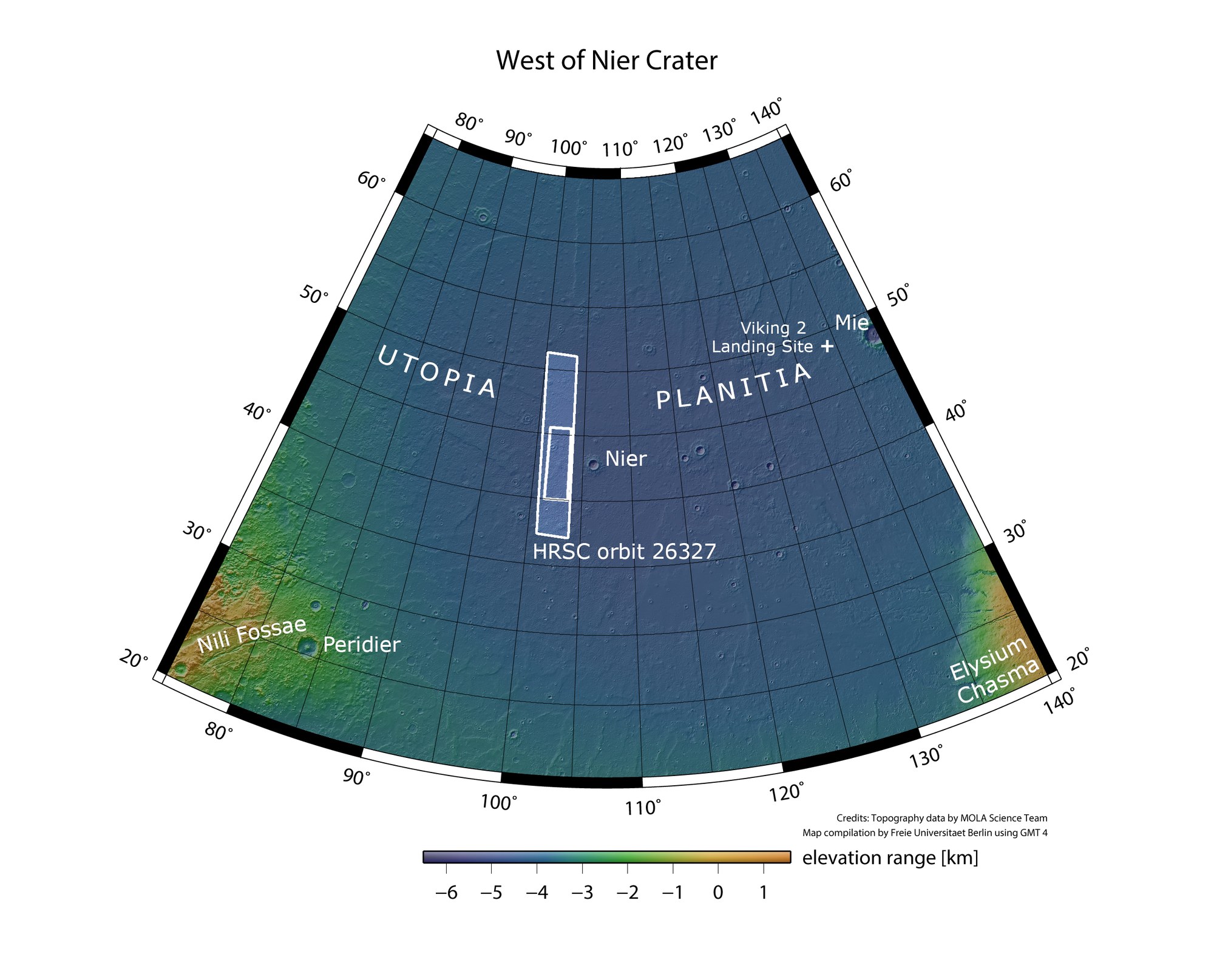
In the northern lowlands of Mars, Utopia Planitia is one of the three largest topographic basins. Various geomorphological clues suggest that Utopia Planitia may have hosted a standing body of water – possibly even an ocean – early in Mars’s history. The German Aerospace Center’s HRSC Mars camera, aboard ESA’s Mars Express orbiter, captured the marked image strip on 9 November 2024. The landscapes shown here are within the small rectangular inset.
Credit:
NASA/JPL (MOLA)/FU Berlin CC BY-SA 3.0 IGO