Topographic overview map of the southern Amazonis Planitia

Topographic overview map of the southern Amazonis Planitia
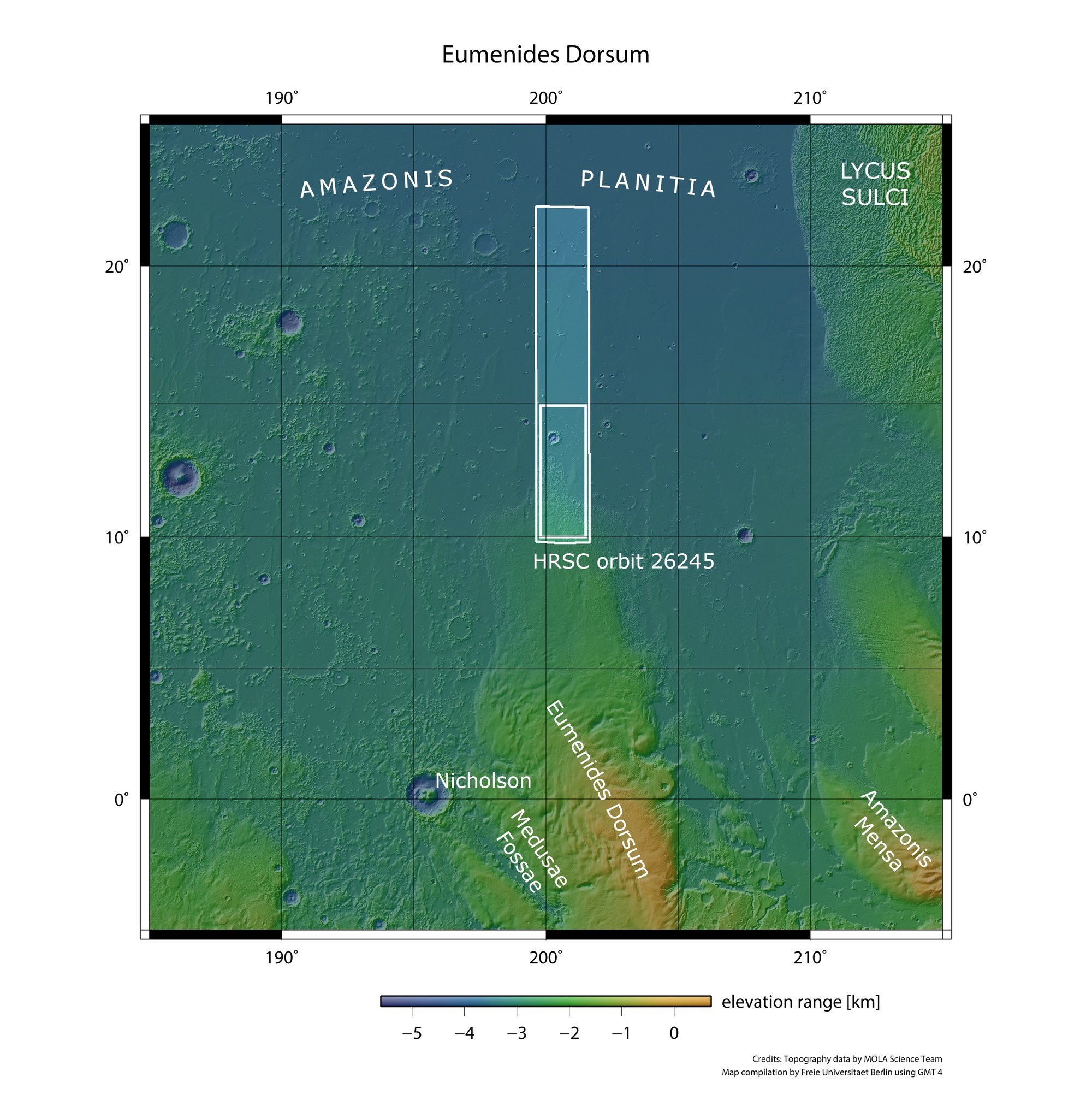
West of the extinct giant volcano Olympus Mons and north of the Martian equator lies Amazonis Planitia – a plain covering approximately two million square kilometres. It is named after the Amazons, a society of brave and powerful female warriors in Greek mythology. DLR's HRSC stereo camera on board ESA's Mars Express mission imaged the region north of Eumenides Dorsum and the adjacent lowlands on 16 October 2024, during orbit 26,245. The landscapes shown in this set of images are located within the outlined inner rectangle of the image strip, an area roughly the size of Belgium.
Credit:
NASA/JPL (MGS-MOLA) / FU Berlin