Topographic map of Arabia Terra on Mars

Topographic map of Arabia Terra on Mars
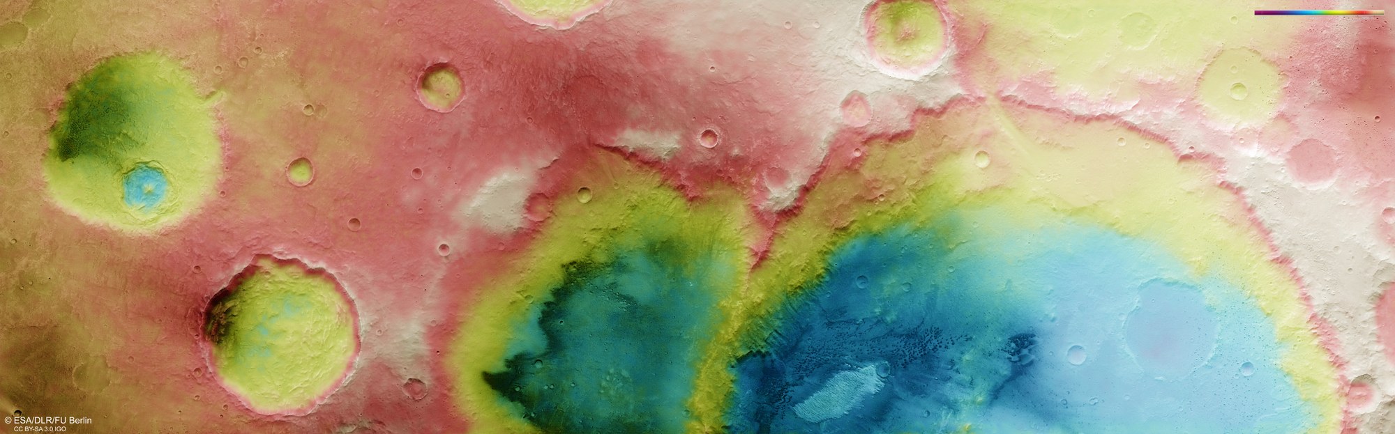
DLR's HRSC stereo camera on Mars Express captures the Martian surface from multiple angles using its nine sensors. From these, the DLR Institute of Space Research and the Department of Planetary Sciences and Remote Sensing at Freie Universität Berlin calculate digital terrain models. The colour scale in the top right of the image indicates elevation values. It reveals that the deepest points in Trouvelot Crater (dark blue) lie more than 4000 metres lower than the highest, cream-coloured points on the crater rim's ridge.