Satellites in disaster relief

Satellites in disaster relief
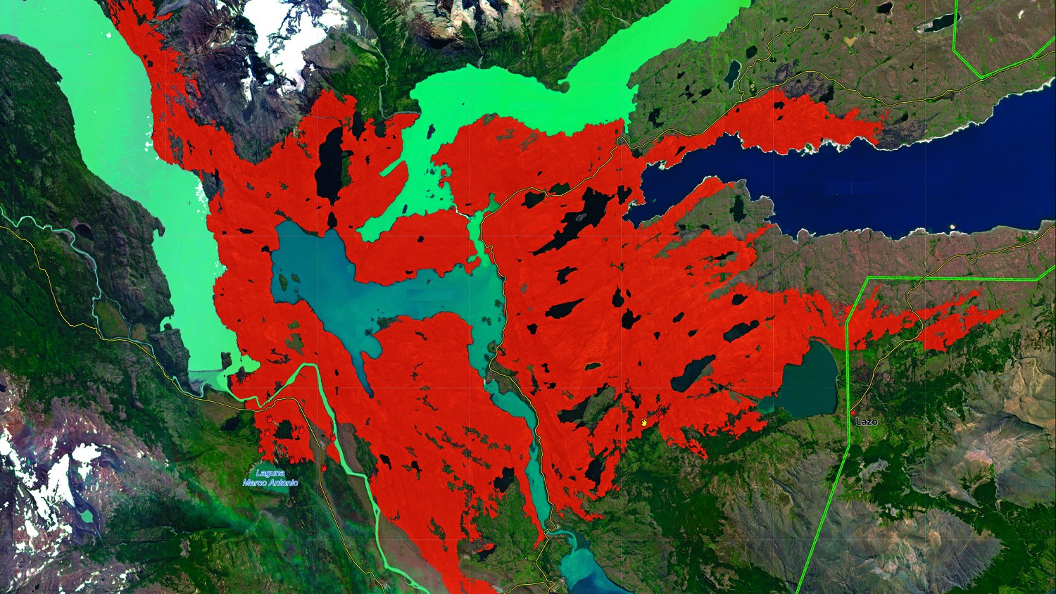
When disaster strikes, satellites can help – for example by spotting burnt areas early on and providing up-to-date maps for firefighting teams. Images from the German RapidEye satellite proved helpful in fighting fires in Chile's Torres del Paine national park, where approximately 16,900 hectares of forest fell victim to the flames.