Support for emergency services and authorities – nationally, across Europe and worldwide
Fighting wildfires with cutting-edge technology
Support for emergency services and authorities – nationally, across Europe and worldwide
Firefighting crews and @fire tackle a blaze
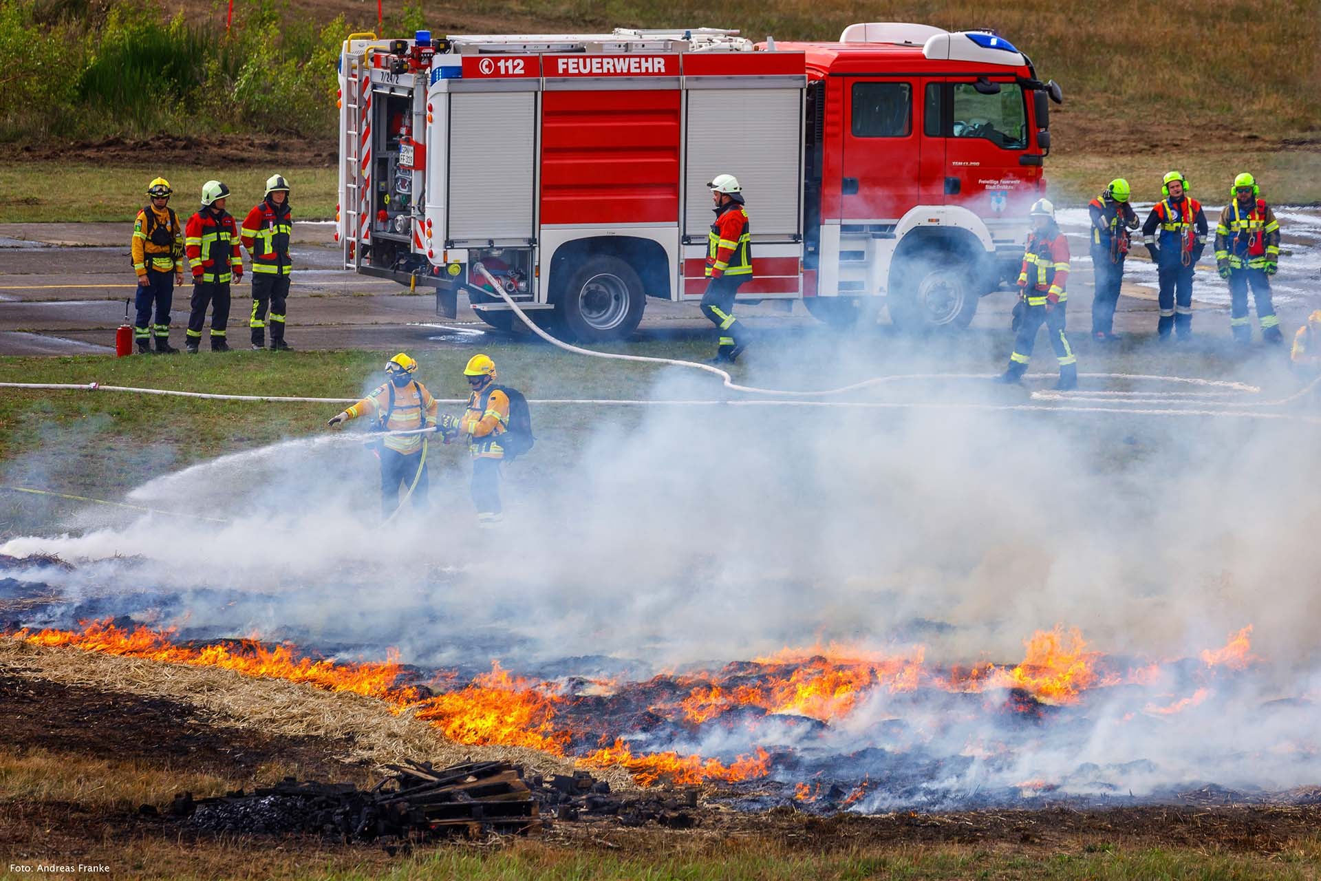
In September 2024, the FIREmobil showcase event for crisis management and civil protection took place in the German town of Welzow, Brandenburg. The participating security authorities and emergency response organisations exchanged knowledge on the challenges posed by wildfires and flooding. Together with @fire, the DLR Institute of Space Research demonstrated real-time wildfire mapping based on MACS (Modular Aerial Camera Systems) data.
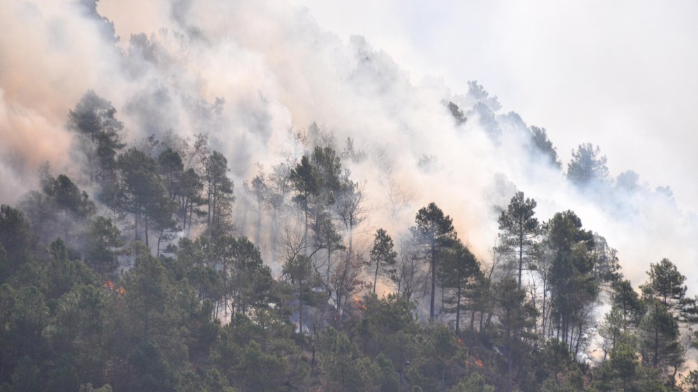
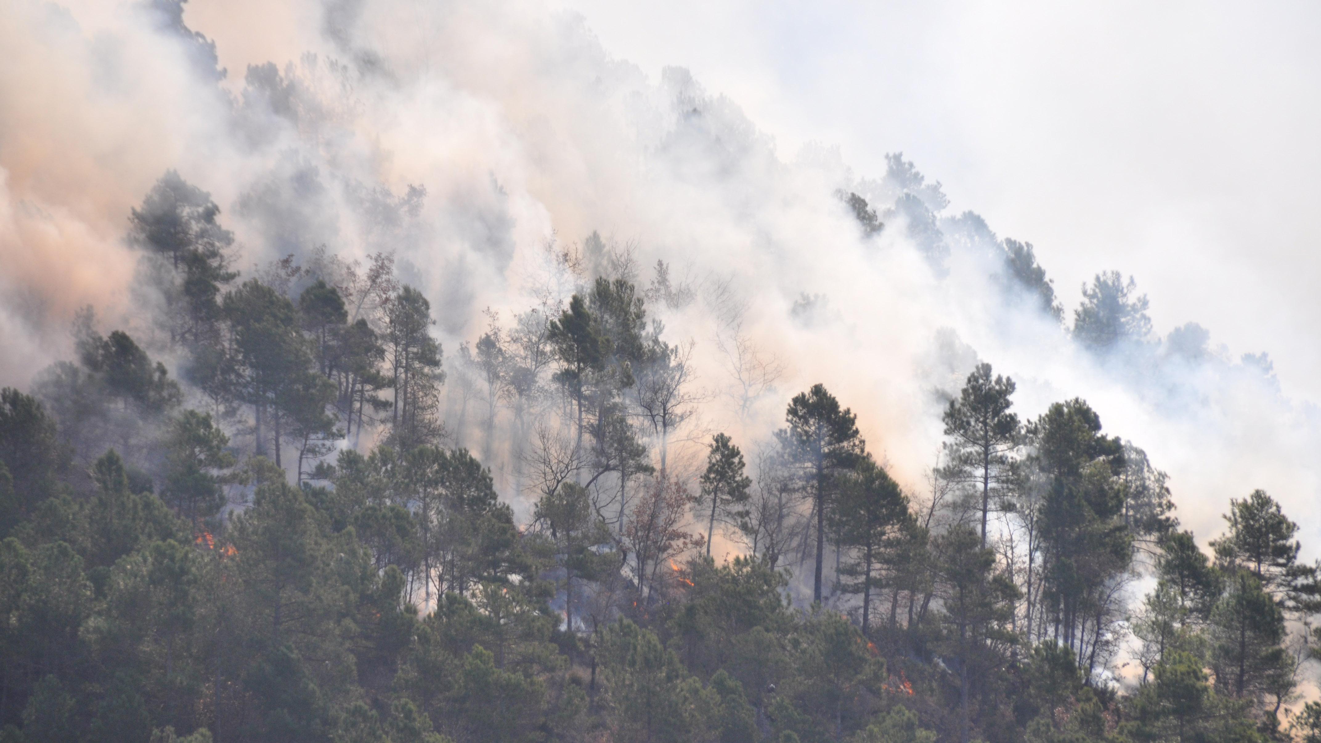
To test PHAROS under real-world conditions, the DLR research team headed to Spain, where wildfires are among the most common emergencies. Together with local rescue workers, the team set off a controlled wildfire and subsequently measured it using PHAROS.
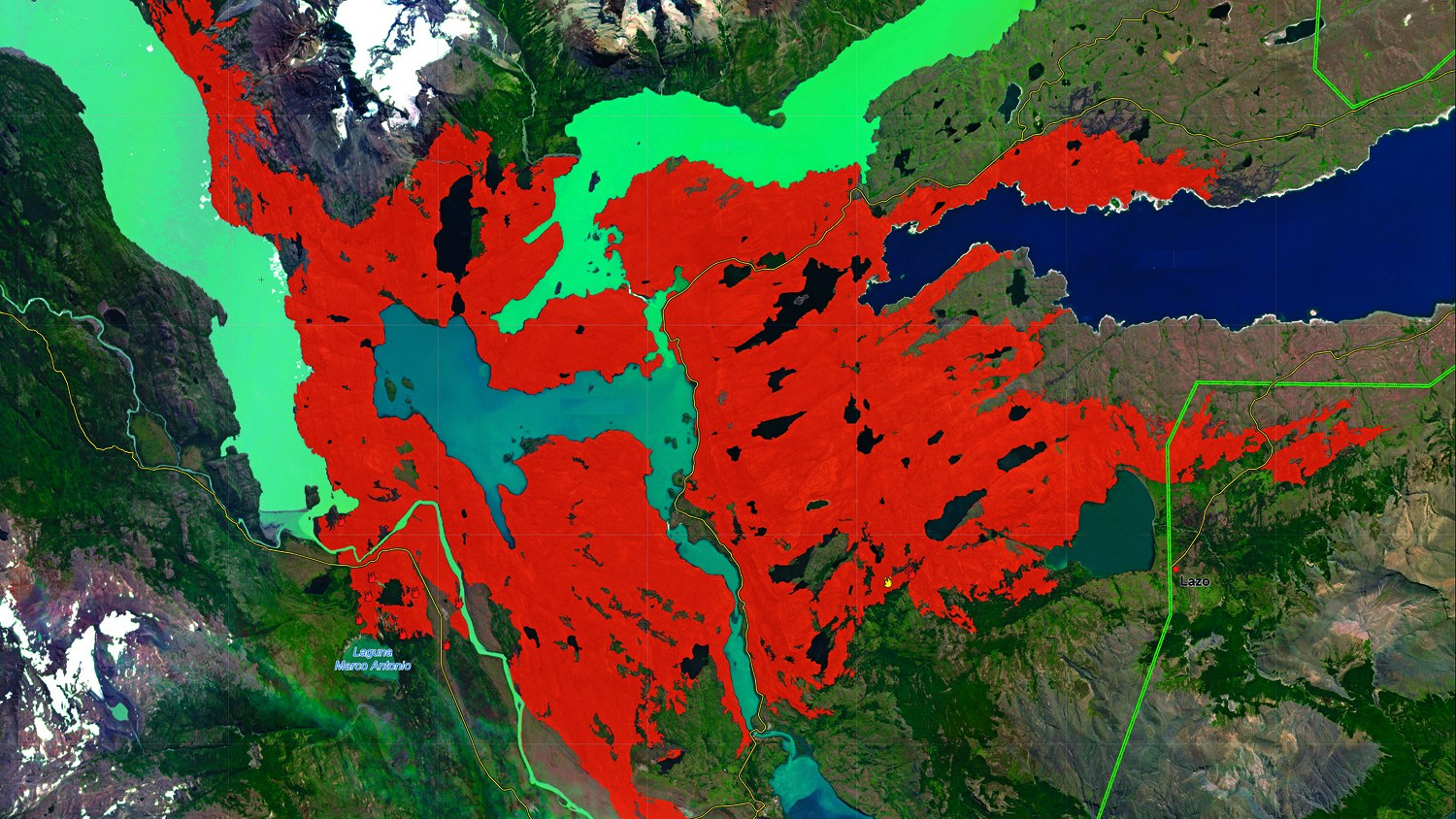
When disaster strikes, satellites can help – for example by spotting burnt areas early on and providing up-to-date maps for firefighting teams. Images from the German RapidEye satellite proved helpful in fighting fires in Chile's Torres del Paine national park, where approximately 16,900 hectares of forest fell victim to the flames.
When it comes to fighting wildfires, technology alone is not enough – it has to be integrated into real-world operations. This is why DLR works closely with emergency services, authorities, industry and other stakeholders. DLR's ambition is not only to design technological concepts, but to contribute to society by bringing them to market maturity and transferring them into practical use. Our focus is on developing robust, practical systems that deliver information in a fast, reliable and easy-to-understand manner.
An early milestone on this path came in 2016, with the PHAROS (Project on a Multi-Hazard Open Platform for Satellite Based Downstream Services). The modular crisis management system was tested in Catalonia, integrating satellite, drone and weather sensors into one centralised snapshot of a given situation. Projects such as HEIMDALL and TEMA (Trusted and Extremely precise Mapping and Prediction for Emergency Management) have continued to build on this idea – developing digital platforms that support both drills and genuine call-outs while promoting efficient cross-border collaboration.
The TEMA project develops technologies and processes to provide optimum support to authorities and first responders in preparing for and managing natural disasters and other crises. One focus of the research is advancing the AI-based extraction of wildfire events from remote sensing data. Various types of information are collected and processed entirely automatically – including publicly available web data such as weather warnings and forecasts, simulations and satellite orbits – for the most efficient early detection, processing and provision of data to support decision-making.
Another example of the direct benefits of DLR research is the first wildfire early warning system co-developed by DLR. In collaboration with Berlin-headquartered company IQ FireWatch, the AWFS (Automated Wildfire Early Detection System) was installed in 1999 in Brandenburg and in Lower Saxony in 2009. In Germany alone, this early detection system currently monitors forests in eight federal states. Sensors recognise the development of smoke at an early stage and automatically transmit the relevant data – meaning fires can be tackled before they spread.
Borders do nothing to stop wildfires – and the same goes for research. Since 2010, DLR has been actively involved in the International Charter on Space and Major Disasters. Here, the German Space Agency at DLR, alongside international peers, provides swift and unbureaucratic access to its satellite data in the event of natural disasters. DLR provides data from the TerraSAR-X and TanDEM-X radar satellites and from the German hyperspectral satellite mission EnMAP. DLR also takes on other roles within the scope of the Charter. When fires broke out in Chile in February 2024, for example, DLR supported the response with its own maps based on EnMAP data. From 2026, the aim is to also provide data from the OroraTech wildfire management platform to improve assistance in wildfire monitoring and response.


