
Topographic map of a section of Utopia Planitia

Topographic map of a section of Utopia Planitia
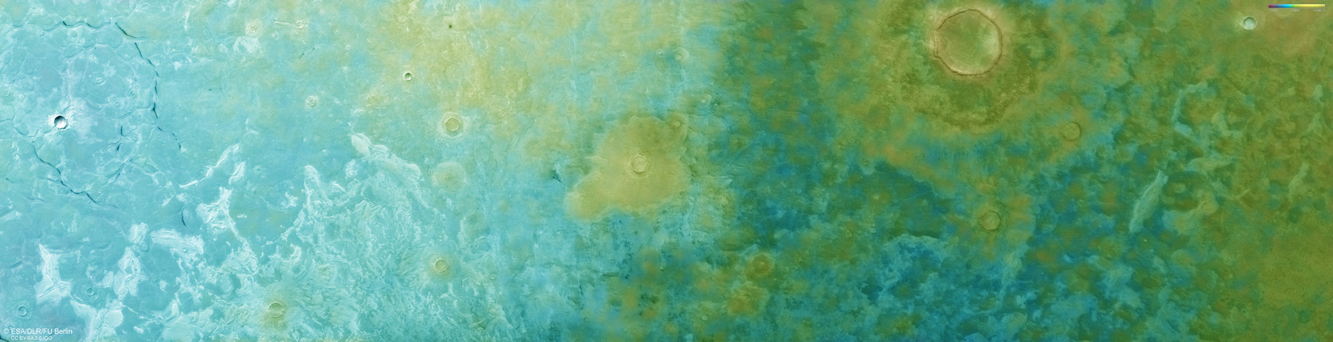
This colour-coded map shows part of the large Utopia Planitia impact basin. It was created using data collected by the DLR Mars camera HRSC aboard the Mars Express spacecraft on 9 November 2024 during orbit 26,327. It is based on a digital terrain model of the region, from which the landscape’s topography can be derived. Lower parts of the surface are shown in blue tones, while higher elevations are coloured yellow, as indicated by the scale in the top right.
North is to the right in the image, and the resolution is approximately 17 metres per pixel.