
Topographic map of the southern part of Kaiser Crater on Mars
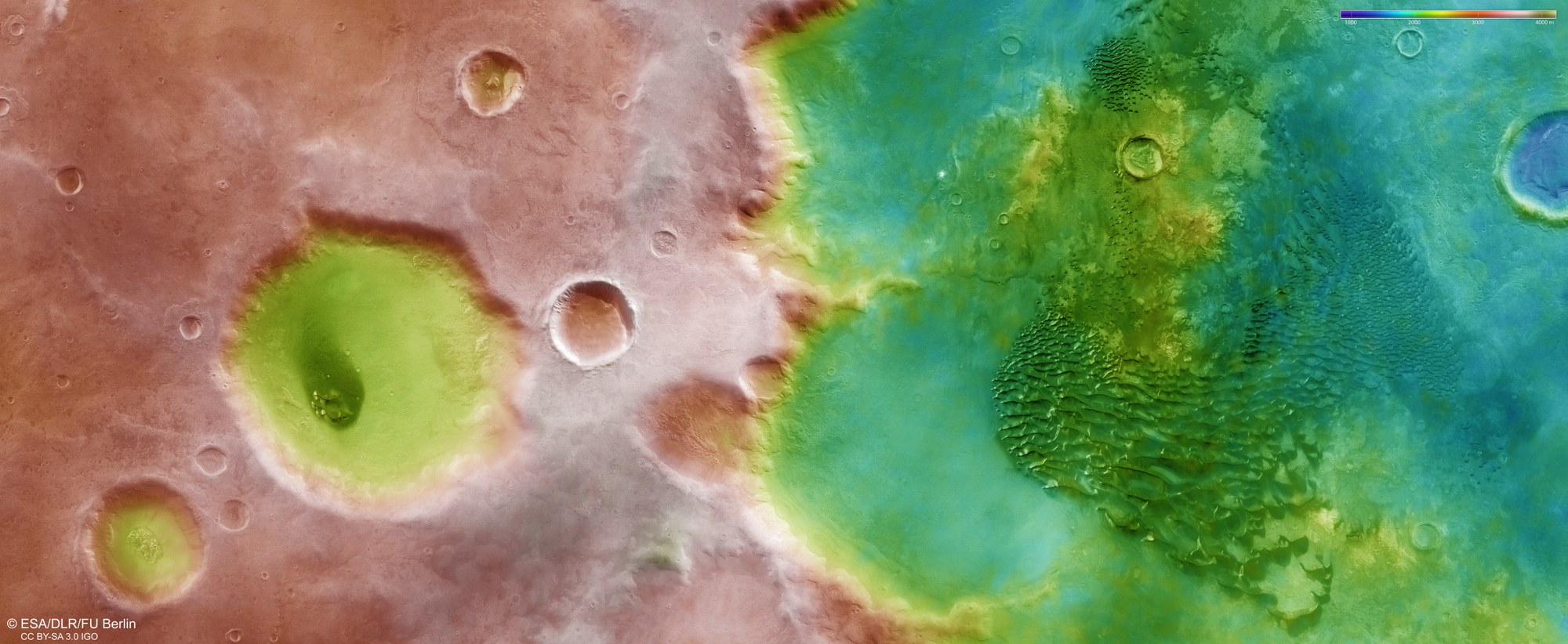

Topographic map of the southern part of Kaiser Crater on Mars
The DLR HRSC stereo camera on Mars Express uses its nine sensors to capture images of the Martian surface from various angles. The DLR Institute of Space Research and the Freie Universität Berlin use these images to calculate digital terrain models. Elevation values can be read from the colour scale at the top right of the image. The floor of the Kaiser Crater, which is approximately 200 kilometres in diameter, lies 2000 to 3000 metres below the surrounding highlands of Noachis Terra. The prominent crater to the left of the centre of the image is almost 1500 metres deep.
