
Thyles Rupes – topographic overview map
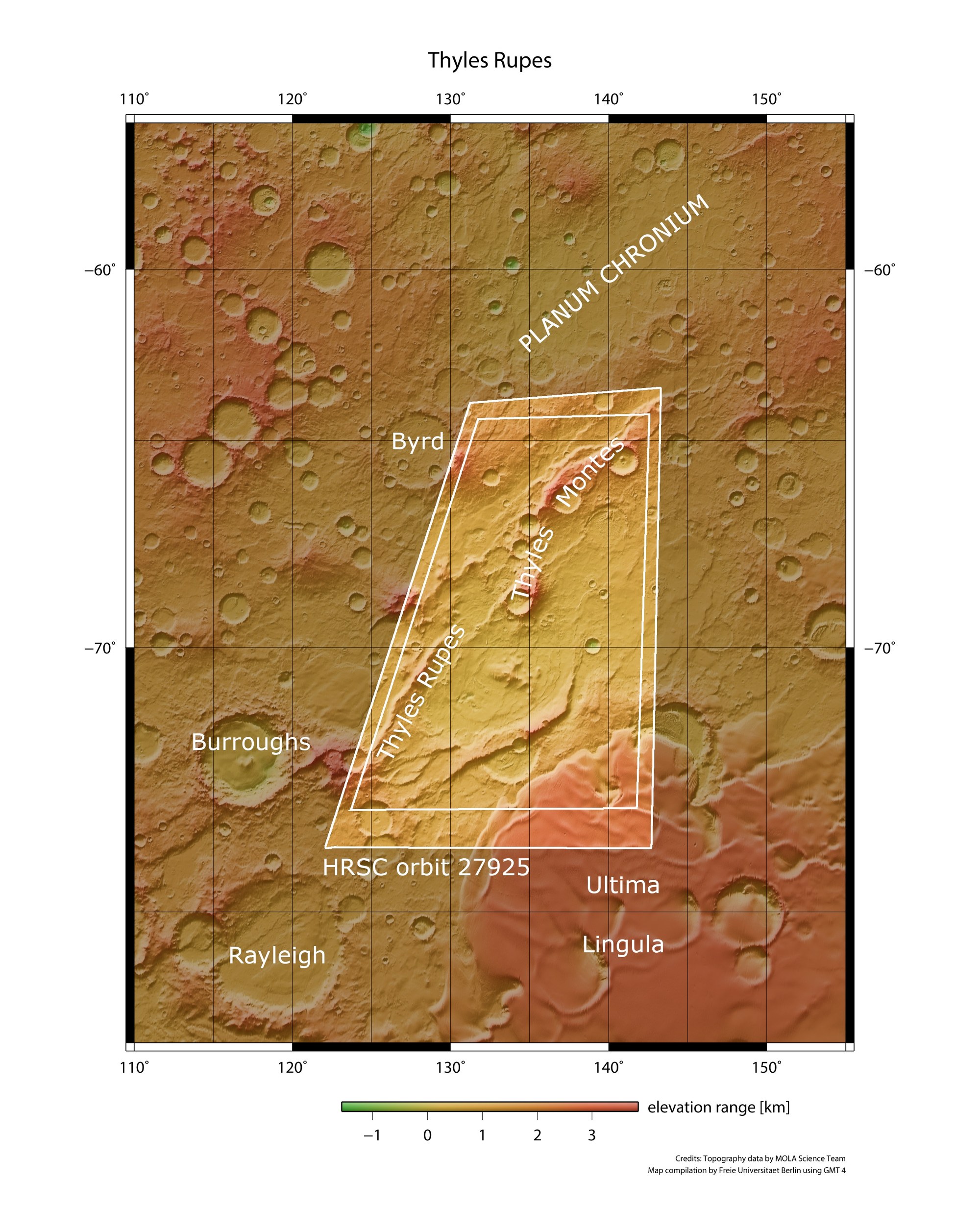

Thyles Rupes – topographic overview map
The HRSC images shown above come from the inner area outlined in white. Here, there are both escarpments ('Thyles Rupes') and mountains ('Thyles Montes'). The area is located in the south polar region of Mars, very close to the polar cap. The tongue-shaped ridge Ultima Lingula (bottom of the image) represents a spur of the southern ice cap. The elevation figures below the image ('elevation range') are given in kilometres.
Credit:
NASA/JPL/USGS/MOLA; FU Berlin