
Topographic image map of Thyles Rupes on Mars
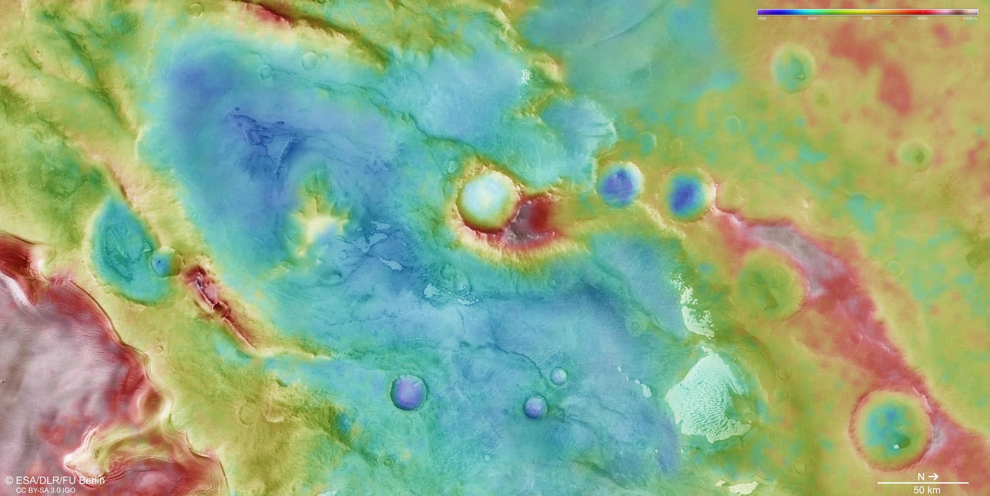

Topographic image map of Thyles Rupes on Mars
DLR's HRSC stereo camera on board Mars Express uses its nine sensors to capture the Martian surface from various angles. From these, the DLR Institute of Space Research and the Freie Universität Berlin calculate digital terrain models. The colour scale in the top right of the image shows elevation values across the landscape, which is characterised by escarpments, craters and the polar cap.
