
Overview map of the Martian region around Amazonis Mensa
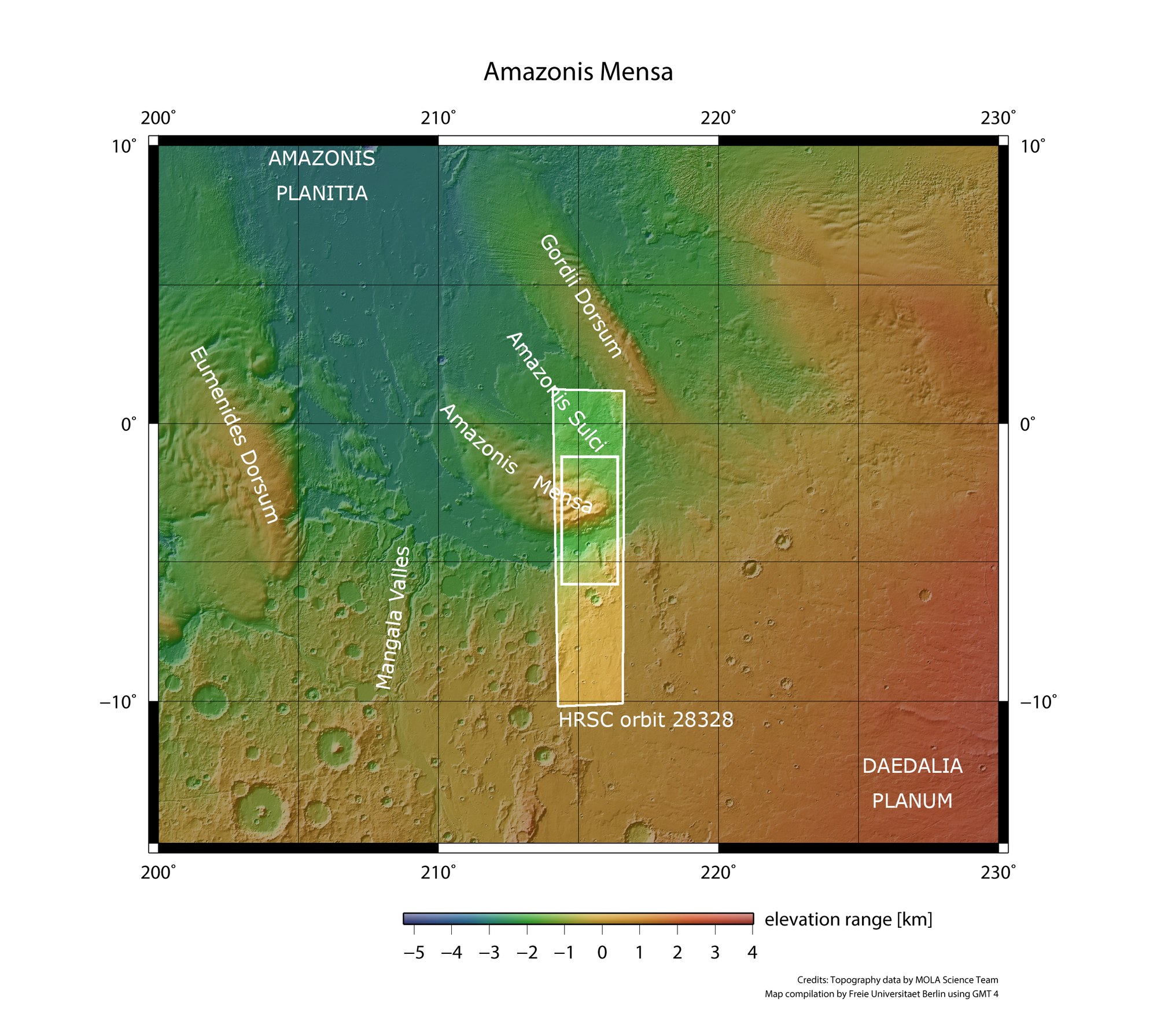

Overview map of the Martian region around Amazonis Mensa
The map shows the area imaged by the High Resolution Stereo Camera (HRSC) on 14 June 2026, with the mesas Eumenides Dorsum and Amazonis Mensa and Gordii Dorsum, characteristic ridges at the transition from Daedalia Planum – part of the prominent Tharsis volcanic region – to the lowlands of Amazonis Planitia. The scale below the map illustrates the large differences in elevation between the mountains and their surroundings.
Credit:
NASA/JPL/USGS/MOLA; FU Berlin