Global satellite-based monitoring and early detection of wildfires
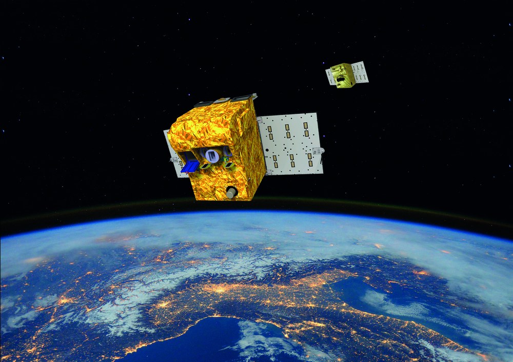
Fighting wildfires with cutting-edge technology
Global satellite-based monitoring and early detection of wildfires
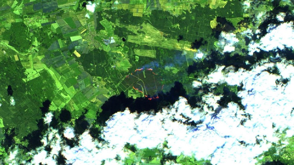
Sentinel-2 false-colour image
In 2019, the German state of Mecklenburg-West Pomerania experienced the most severe wildfire in its history. This is a false-colour image of active fires, taken by Sentinel-2.
Image: 1/4, Credit:
Contains modified Copernicus Sentinel data (2019), processed by ESA
Wildfires in California
Satellite images show where fires are burning. In the event of other natural disasters, they also provide important and up-to-date information for emergency response teams.
The small DLR satellites BIROS (Bispectral InfraRed Optical System, launched in 2016) and TET-1 (Technology Experiment Carrier, launched in 2012) formed a highly effective tandem for early wildfire detection as part of the FireBIRD mission (Fire Bispectral InfraRed Detector). Their innovative infrared sensor system enabled very precise measurements of fire spread and heat development.
Satellites make it possible to detect wildfires at an early stage, anywhere in the world – whether an area is populated, remote or hard to reach. In 2001, BIRD (the Bispectral InfraRed Detector) became the first DLR satellite specially designed to detect and study fires on Earth's surface. For this purpose, DLR developed a new generation of sensors tailored to the remote sensing of fires, suitable for use on small, cost- and energy-efficient satellites. Building on this, the scientific FireBIRD mission, comprising two small satellites dedicated specifically to fire detection – TET-1 (launched in 2012) and BIROS (the Bispectral InfraRed Optical System; launched in 2016) – made DLR a global pioneer. Beyond identifying fires, this mini-constellation made it possible to deduce their intensity and characterise the fire front in greater detail than was possible with comparable systems at the time. Today, the FireBIRD concept is being implemented commercially in a more advanced form by New Space companies.
Satellites such as the Sentinel family from the European Copernicus programme also play a key role in large-scale wildfire monitoring. For example, the Copernicus Atmosphere Monitoring Service (CAMS) uses satellite data on active fires to, among other things, assess the concentration of pollutants such as nitrogen oxides, carbon monoxide and carbon dioxide. Based on Sentinel and US satellite data, the Fire Monitoring System run by DLR's Center for Satellite-Based Crisis Information (ZKI) provides information on the magnitude of fires in Europe (incidence, area and severity) over the last 31-days – updated several times per day. Current burnt areas are made available in near-real time, with data received directly by DLR's Earth Observation Center (EOC) stations in Oberpfaffenhofen and Neustrelitz. Using existing processing capacity, products such as burn area maps can be provided in less than an hour. The EOC was also involved in establishing EFFIS (the European Forest Fire Information System), which provides services in the EU and neighbouring countries, as well as to the European Commission and European Parliament, with up-to-date and reliable information on wildfires.
Satellites have the advantage of providing data worldwide with consistent quality, thus making it possible to access valuable information from all over the globe. The ZKI's Fire Monitoring Service, for instance, was used during the severe fires in Chile in 2024 to assess the live situation and fire development in affected areas using Sentinel-3 and NASA's MODIS instruments. Data was provided to local authorities within the framework of the International Charter on Space and Major Disasters.
In collaboration with German New Space start-up OroraTech, DLR has licensed its own proprietary AI-based method for detecting and measuring burnt regions. The technology is being integrated into OroraTech's Wildfire Solution platform which analyses high-resolution thermal images, including from its own satellites in low-Earth orbit. Using artificial intelligence (AI), the DLR-licensed method quickly analyses this mass of heterogeneous data and makes findings available in near-real time. The cooperation with OroraTech builds on joint projects in which scientific results and commercial applications have been developed and tested in combination.
The Embed2Scale project also draws on satellite-based solutions. Working alongside international stakeholders from business and research, its aim is to improve the accessibility, efficiency and scalability of Earth observation data. In the event of a disaster, the large volumes of raw data necessary for satellite-based solutions must be transformed into usable information in the shortest possible time – a task that humans alone would struggle to perform. That is why the consortium is working on methods to make processing and analysis more efficient using innovative AI-based data compression and high-performance computing (HPC).

