Observation of space objects

Focus on space debris
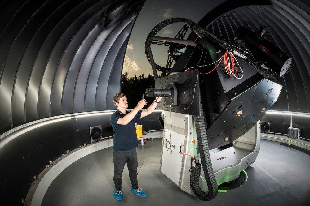
The Johannes Kepler Observatory, whose main telescope has an aperture of 1.75 metres, is currently Europe's largest and most powerful observatory for laser ranging and optical measurement of orbital objects.
Image: 1/5, Credit:
SMART-01-SUTH – telescope station in South Africa
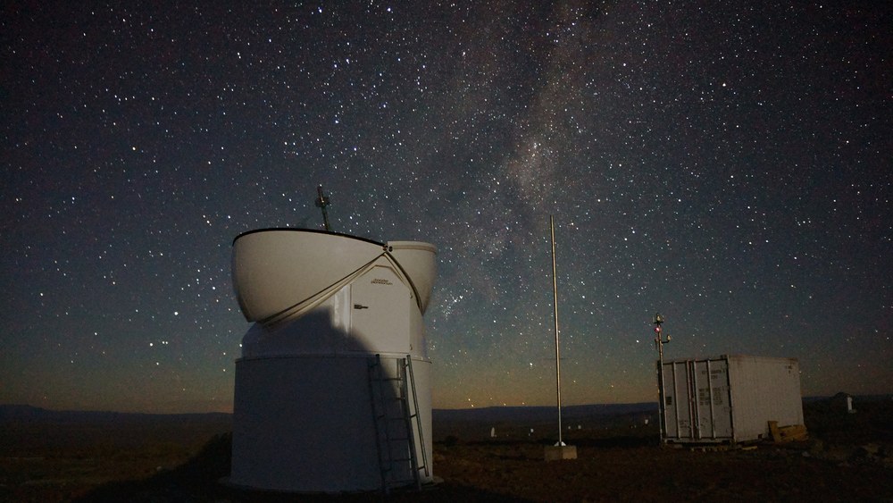
The first SMARTnet™ telescope station, located in Sutherland, South Africa, monitors geostationary orbit. It consists of two telescopes with apertures of 20 and 50 centimetres. The station is monitored and controlled from the container.
Image: 2/5, Credit:
H. Fiedler
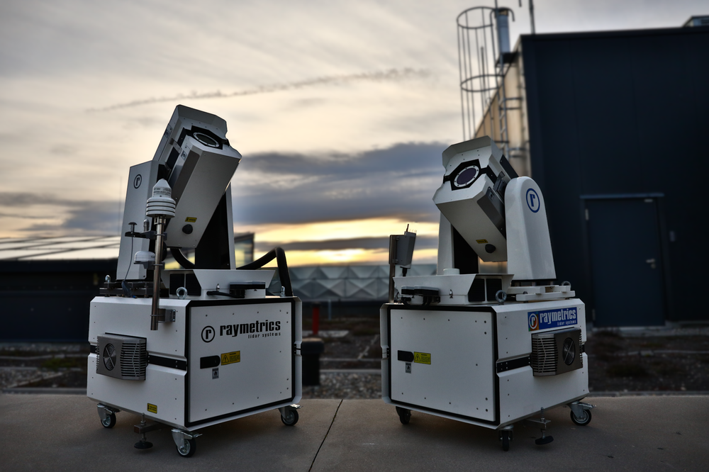
APPARILLIO® passive optical telescopes
APPARILLIO® (Autonomous Passive Optical Staring Of LEO Flying Objects) is a system for monitoring low Earth orbit that can autonomously capture and process images of objects illuminated by the Sun.
An overview of centres and systems
DLR's own catalogue | |
|---|---|
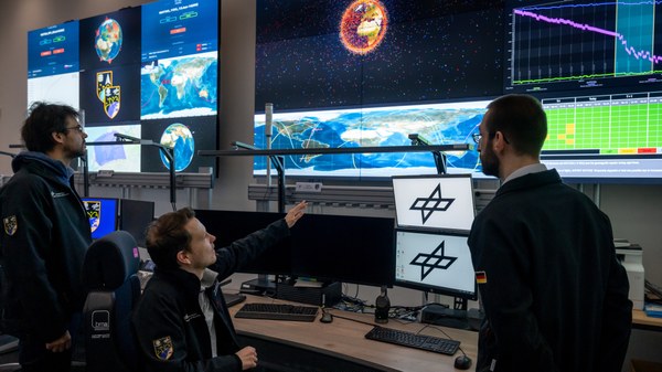
Space Situational Awareness Centre in Uedem | Together with the Bundeswehr Space Command, the German Space Agency at DLR operates the Space Situational Awareness Centre in Uedem. The facility monitors objects in near-Earth orbit, helping to protect German space-based civil and military systems and to maintain an up-to-date picture of the space situation. With its expertise in orbital mechanics, sensor technology and data processing and analysis, DLR makes a significant contribution to protecting critical infrastructure. |
GESTRA radar system | GESTRA (German Experimental Space Surveillance and Tracking Radar) is a state-of-the-art system developed by the Fraunhofer Institute for High Frequency Physics and Radar Techniques (FHR) on behalf of the German Space Agency at DLR. It operates in the microwave range and is used to detect and catalogue objects in low Earth orbit, such as active satellites and space debris. GESTRA provides precise data for space situational awareness, helping to prevent collisions. |
Johannes Kepler Observatory
| The Johannes Kepler Observatory is used for the laser-based detection and analysis of space debris. Its main telescope has a 1.75-metre aperture, which enables it to detect debris in low Earth orbit at the decimetre scale. Compared with conventional radar methods, laser measurements provide significantly more precise orbital data. They also reveal the shape of the objects and their rotational behaviour. The measurements therefore help to improve safety in orbit and prevent collisions, particularly between small space debris objects and active satellites. In addition to the main telescope, the observatory has two smaller ones, with mirror diameters of 0.6 and 0.4 metres. Operating in parallel with the main telescope, they cover a wider field of view and supplement the data it collects. |
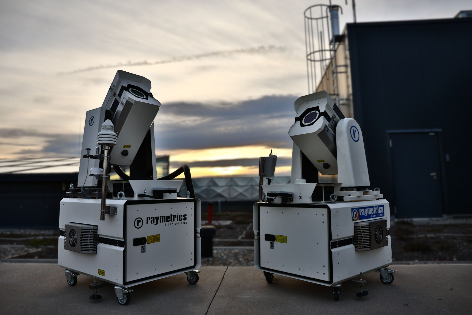
miniSLR® mobile ground station | The compact, transportable miniSLR® ground station is used to determine the positions of satellites. Satellite Laser Ranging (SLR) is a technique that can be used for measuring the distance between ground stations on Earth and satellites with millimetre precision. It plays an important role in Earth observation, satellite navigation and space traffic management. With miniSLR®, DLR has developed a mobile and significantly smaller version of a ground station for the first time; it is easy to set up and maintain, and operates automatically. |
STAR-C laser optical ground station | DLR uses STAR-C (Surveillance, Tracking And Ranging Container) ground stations to precisely determine the orbits of active satellites and space debris. The millimetre-precise position data enables active satellites to carry out targeted avoidance manoeuvres. The robust system is housed in a six-metre-long container and serves as a mobile laser-optical ground station for locating space debris. |
APPARILLIO® passive optical telescope | APPARILLIO® (Autonomous Passive Optical Staring Of LEO Flying Objects) monitors low Earth orbit. The passive optical telescope autonomously captures images of objects illuminated by the Sun and processes them immediately. The telescope is housed in a weatherproof enclosure and uses comprehensive control and image processing software. It measures the exact positions of space objects and transmits the information directly to existing databases. A small network is currently being established within the EU, comprising telescopes in Slovakia, Spain and at the DLR site in Stuttgart. One of the system's key features is its wide field of view, which covers up to 20 degrees in both width and height simultaneously. |
IoSiS and IoSiS-NG radar systems | Using the experimental IoSiS (Imaging of Satellites in Space) radar system, DLR is testing new methods for imaging satellites and other objects in low Earth orbit at high resolution. The current system is based on the Inverse Synthetic Aperture Radar technique. With IoSiS, we have already imaged space objects at the centimetre-scale. A new, state-of-the-art, next-generation research facility is currently under construction: the IoSiS-NG (Imaging of Satellites in Space – Next Generation) radar system. It will provide true three-dimensional images directly from the ground and make it possible to precisely determine the mechanical condition of objects in space. It will also provide information on unknown or potentially threatening objects. This is a crucial capability for 'responsive space', which is the ability to react quickly in space. The construction of IoSiS-NG is funded by the Bavarian State Ministry of Economic Affairs, Regional Development and Energy (StMWi). IoSiS-NG is scheduled to begin research operations in 2029. |
SMARTnet™ exchange platform | SMARTnet™ (Small Aperture Robotic Telescope Network) is an international, open exchange platform for sharing measurements of objects in space. The platform is operated by GSOC in collaboration with the Astronomical Institute of the University of Bern (AIUB). The information on the platform is available free of charge to collaborating organisations.
Companies, universities and research institutions participate in the network, using sensors to continuously gather data on space objects. They provide their data to SMARTnet™ free of charge and, in return, gain access to all the information collected on the platform. Participating organisations may use or market products derived from this data, but may not resell or redistribute SMARTnet™ data itself. DLR uses the data for research purposes and to improve the safety of the satellites controlled by GSOC. To date, more than 50 million measurements have been exchanged among participants.
As part of SMARTnet™, DLR currently operates three measuring stations of its own in South Africa, Australia and Chile. A fourth station is being set up in Namibia. |
Orbital database for space objects | The Backbone Catalogue of Relational Debris Information, developed at DLR, is used to create and operate an orbital database for space objects. The system draws on data from all available sensors. It enables observations by sensor networks to be planned optimally, which improves the detection and tracking of space debris. |